Weather
Winter Storm, Flood Watch, Mountain Snow: Los Alamitos Forecast
A howling Alaskan storm was barreling toward the southern California coast, bringing with it heavy rains, winter conditions in the mountains

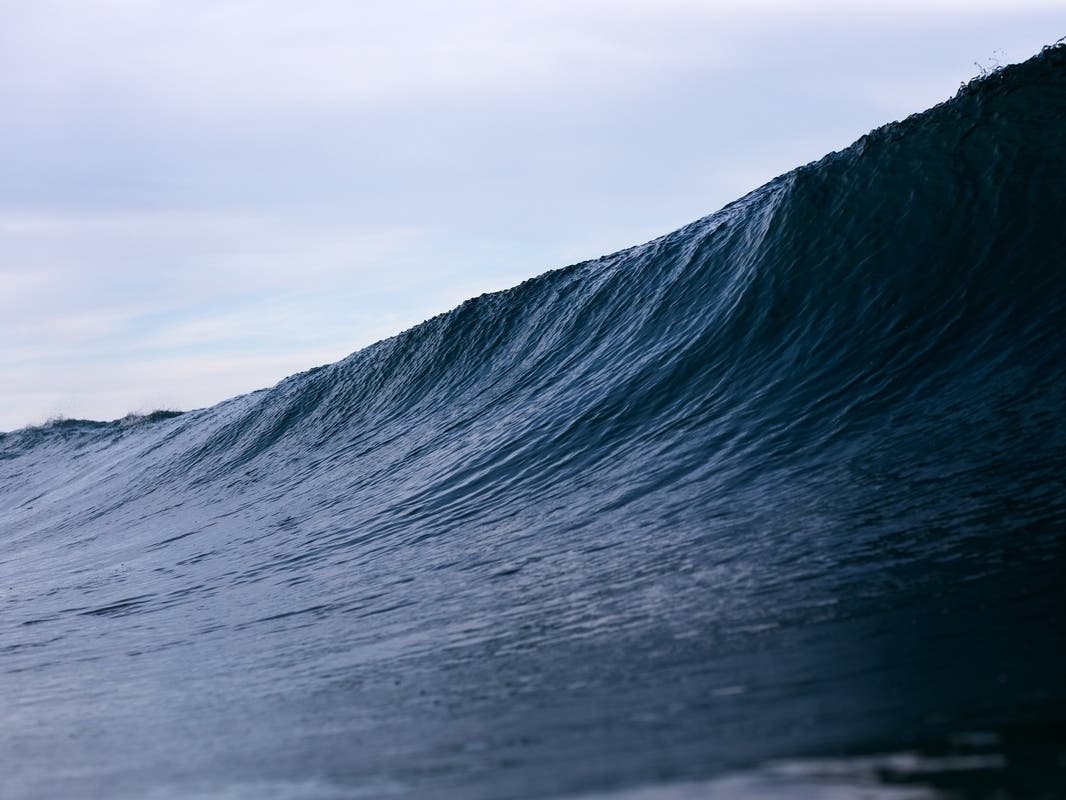
LOS ALAMITOS, CA — A cold winter storm was on a collision course with the Southland Friday, according to the National Weather Service, threatening to generate heavy rain, snow in area mountains along with wind gusts of 80 miles per hour. All will combine to create challenging travel conditions in the mountains along with whiteouts, flooding, debris flows and rockslides in several burn areas, and rough seas off the southern California coastline.
The storm hails from the Gulf of Alaska and will tap into a band of moisture stretching from Hawaii to California as a low pressure system parks itself over California, said NWS meteorologist Todd Hall. Heavy rain is expected starting daybreak Saturday, he said.
Pounding rain was expected starting late Friday evening or early Saturday, NWS forecasters said. Coastal and valley areas are forecast to receive between 1.5 and 3 inches of rain, the NWS said on its website, adding that the snow level in the San Gabriels will fall to 5,000 feet amid winds of between 40 and 60 miles per hour.
Find out what's happening in Los Alamitos-Seal Beachfor free with the latest updates from Patch.
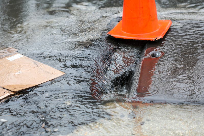
Residents of coastal cities were advised to "raise their floodgates" Friday evening, in anticipation of flooding. Other impacts expected to result from the storm include urban flooding, downed trees and power outages, increased accidents and travel delays, shallow debris flows, with more significant flows and flash-flooding possible, rock-slides on canyon roads, especially in areas denuded by recent fires.
Winter weather driving conditions were anticipated in the San Gabriel Mountains late Monday-Tuesday, the NWS said.
Find out what's happening in Los Alamitos-Seal Beachfor free with the latest updates from Patch.
"A powerful winter storm will move into southwestern California tonight and Saturday. Very strong and damaging southerly winds will likely accompany this storm system across many portions of Southwest California. This has the potential to be one of the strongest southerly wind events in recent years associated with a storm system" according to an NWS statement.
The approaching storm could produce rainfall rates of between a half- inch and an inch of rain, forecasters said.
In the San Gabriel Mountains, a winter storm watch will be in effect in Los Angeles and Ventura counties from Friday evening through Saturday afternoon, according to the NWS.
"A Winter Storm Watch means there is potential for significant snow, sleet or ice accumulations that may impact travel," explained the statement.
"A powerful winter storm is forecast to move into southwestern California Friday night and Saturday, bringing heavy snow and potentially damaging winds to the higher mountain elevations," warned an NWS statement. "Snowfall of 8 to 16 inches with locally higher amounts will be possible through Saturday above 6,500 to 7,000 feet. Very strong south to southeast winds of 40 to 55 mph with the potential for damaging gusts of up to 80 mph can also be expected. These very strong southerly winds could bring dangerous driving conditions across Interstate 5 near the Grapevine. The combination of heavy snow and very strong winds will likely create whiteout conditions and be dangerous for travelers into the high mountain elevations."
The snow levels is expected to be at 7,000 to 7,500 feet through Saturday morning and drop to around 6,000 feet by Saturday evening, to between 5,000 and 5,500 feet late Saturday night and Sunday, according to an NWS statement. At times, snow may fall as low as 4500 feet.
Disruptions are also expected at lower elevations, including "significant wind impacts possible for Interstate 5 near the Grapevine, where very strong gusts of 70 to 80 mph will be possible."
Along the coast, a small craft advisory will be in force from 2 p.m. to 11 p.m. Friday, and a gale watch will be in effect from Friday evening through Saturday morning. Combined seas of 10 to 13 feet are expected.
On Friday, partly cloudy skies were forecast in Orange County, along with highs of 47 on Santiago Peak; 56 on Ortega Highway at 2,600 feet; 58 in Fremont Canyon; 61 in Trabuco Canyon, San Clemente and Yorba Linda; 63 in Laguna Beach; 64 in Newport Beach, Anaheim and Mission Viejo; and 65 in Fullerton and Irvine. Temperatures were expected to be roughly the same amid rain Saturday and showers on Sunday and Monday.
The NWS forecast mostly cloudy skies Friday and highs of 51 on Mount Wilson; 57 in Lancaster; 58 in Palmdale; 59 in Avalon; 60 in Saugus; 61 in San Gabriel; 62 in Burbank and at LAX; 63 in Woodland Hills, Long Beach and Pasadena; and 64 in Downtown L.A. Temperatures mostly -- but not universally -- will be marginally lower Saturday amid rain and remain at roughly the same levels amid showers on Sunday, Monday and Tuesday.
7-day Forecast for Los Alamitos-Seal Beach
Rain today through Sunday, with high temperatures falling to 58°F on Tuesday.
Saturday February 2
Heavy rain until evening and breezy until afternoon. High 61, low 54.
Chance of precipitation: 99%. Wind 11 mph from the SSE
Sunday February 3
Light rain in the morning. High 59, low 53.
Chance of precipitation: 94%. Wind 7 mph from the SSW
Monday February 4
Mostly cloudy throughout the day. High 60, low 53.
Chance of precipitation: 87%. Wind 6 mph from the SSE
Tuesday February 5
Overcast throughout the day. High 58, low 50.
Chance of precipitation: 92%. Wind 4 mph from the W
Wednesday February 6
Mostly cloudy in the morning. High 58, low 45.
Chance of precipitation: 20%. Wind 3 mph from the NW
Thursday February 7
Clear throughout the day. High 63, low 45.
Chance of precipitation: 0%. Wind 4 mph from the NNE
Friday February 8
Clear throughout the day. High 62, low 45.
Chance of precipitation: 0%. Wind 1 mph from the N
Data provided by darksky.net.
Shutterstock Photo
Get more local news delivered straight to your inbox. Sign up for free Patch newsletters and alerts.