Community Corner
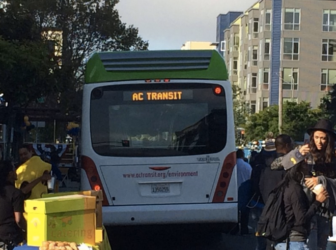
AC Transit Partners With Google Maps
Riders now can track buses' "real time" locations.

Bus riders in Alameda and Contra Costa counties can now use Google maps to plan their trips, AC transit officials announced Thursday.
AC Transit and Google Maps are partnering together to let riders know exactly what time their next bus is coming, using “real time” location data from every bus in the transportation district’s fleet.
Additionally, with service alerts imported straight from AC Transit’s website, the district’s 200,000 daily riders will also have descriptions of construction or special event detours and other temporary impacts on specific routes, transit officials said.
Find out what's happening in Pinole-Herculesfor free with the latest updates from Patch.
“Google maps is a very popular trip planning tool for our riders. Adding real-time trip updates allows better planning and more certainty and saves our riders time. It makes a great tool even better,” AC Transit Board of Directors President Chris Peeples said.
“And the addition of service notices alerts riders to current and upcoming changes such as detours due to construction, parades and other major events,” Peeples said.
Find out what's happening in Pinole-Herculesfor free with the latest updates from Patch.
The transportation district expects the new feature to be well received since the AC Transit website had nearly 16 million page views last year, with 2.4 million hits seeking real time bus information and another 257,000 page views seeking help with trip planning, transit officials said.
--Bay City News/Image via AC Transit on Facebook.
Get more local news delivered straight to your inbox. Sign up for free Patch newsletters and alerts.