Politics & Government
Santa Rosa Rolls Out Online Map Component Of Emergency Wildfire Plan
"The roads, especially up in the hills here, there really aren't a whole lot of roads that take you out of here," said a Santa Rosa resi ...
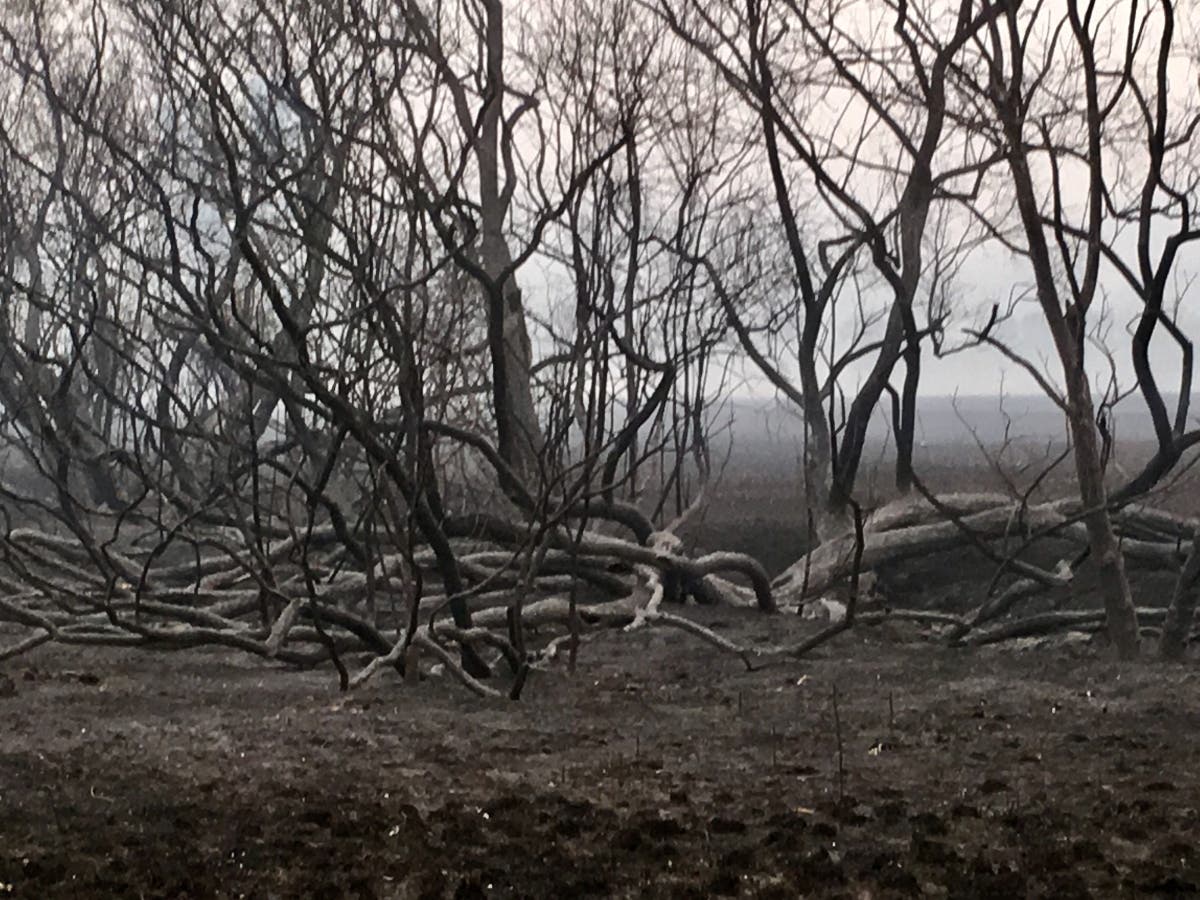
SANTA ROSA, CA (KPIX 5) — As Northern California approaches the two-year anniversary of the Wine Country Fire siege, the City of Santa Rosa rolling out a critical part of its plan for the next fire.
“The roads, especially up in the hills here, there really aren’t a whole lot of roads that take you out of here,” said a Santa Rosa resident named Ron. “If you had a few hundred people trying to get out of here in a panic that could be a problem."