Crime & Safety
Thomas Fire Controlled Burn Halted Due To Weather, Air Quality Concern
The U.S. Forest Service halted a control-burn of 2,500 acres of overgrowth in the San Bernardino National Forest, instead burning 108 acres.


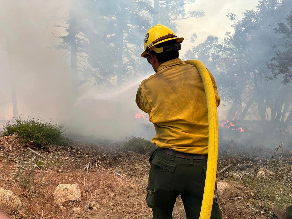
ANZA, CA—Officials halted controlled burn efforts near Anza Thursday as air quality and weather conditions rendered them unsafe, a statement released by the U.S. Forest Service, San Bernardino National Forest, said.

"The project was not continued after temperatures and air quality standards were not suitable for consecutive burn days," the statement said. "Without the ability to start fires according to the firing plan, the project would have become an unsafe activity for fire personnel.

Approximately 200 fire personnel worked the blaze prescribed burn, which began on Monday morning, focused around 6,825-foot Thomas Mountain, south of Lake Hemet and just west of Highway 74. They attempted to duplicate an operation from last summer, in which the San Jacinto Ranger District also eliminated about 2,500 acres.
Find out what's happening in Temeculafor free with the latest updates from Patch.

There were plans to continue the current burn for at least 10 days, but on Wednesday, rangers determined that rising temperatures and related factors made the procedure too dangerous.
Burn Boss Jim Snow discussed the reasoning, saying that "instead of continuing with firing operations, we will work toward securing fire lines that have been established to limit fire spread.”
Find out what's happening in Temeculafor free with the latest updates from Patch.

Snow described that federal fire personnel are now mopping up hot spots, after which they'll clear the area. There was no word on when the operation, which is intended to clear dead and excess vegetation that could provide fuel for wildfires, might resume.
"Fire is dynamic and has many factors that contribute to its behavior and the effects it exhibits on the landscape," he stated. "With prescribed fires, land managers can sample fuels to determine their moisture content, map the vertical and horizontal fuel composition, map the topography, and input the results into programs that help guide decision-making. They also have the time to consult with cooperating agencies to receive expert-level input for the best possible outcome for forest health, community protection, and public and firefighter safety."
Additional information is available at www.fs.usda.gov/sbnf.
Get more local news delivered straight to your inbox. Sign up for free Patch newsletters and alerts.