Home & Garden
Afternoon Rain, Wind and Mountain Snow Headed This Way
A storm from the Gulf of Alaska will bring heavy wind, cold temperatures and as much as half an inch of rain.

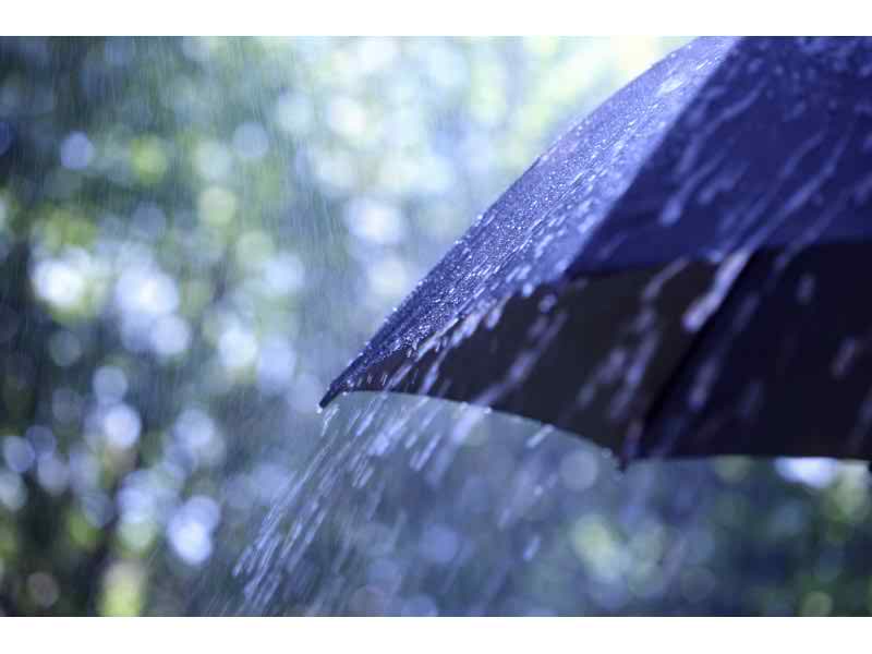
A Pacific storm system will bring rain and snow to Southern California today, along with strong winds, but the foul weather will end Wednesday, National Weather Service forecasters said.
Light showers began developing across San Luis Obispo County late Monday evening, then spread southeast across the area on a trajectory that will put them in the Los Angeles basin this afternoon and evening, according to the NWS.
Showers will continue in Los Angeles County this evening, and a slight chance of showers will linger over northern and eastern mountain slopes late tonight into Wednesday morning, said an NWS statement.
Find out what's happening in Woodland Hillsfor free with the latest updates from Patch.
“... By Wednesday afternoon expect skies to begin clearing and all precipitation to end,” it said.
The snow level will fall from 5,500 to 5,000 feet by this afternoon, then to near 4,500 feet by late tonight, but by then only light showers are expected, along with snow flurries and little accumulation, the statement added.
Find out what's happening in Woodland Hillsfor free with the latest updates from Patch.
Between two and four inches of snow are expected above 5,000 feet, although up to six inches is possible in some spots, forecasters said. Nonetheless, no weather-related difficulties or road closures are expected in the Interstate 5 Corridor, they said.
Gusty southwest winds will also lash the region. The strongest will be in the San Gabriel Mountains and the Antelope Valley, where gusts of between 40 and 50 miles per hour will be common, NWS forecasters said. A wind advisory will be in effect from noon until 9 p.m. today in the San Gabriel Mountains and the Antelope Valley.
Total rainfall amounts resulting from this late-season weather system out of the Gulf of Alaska are expected to be between a quarter-inch and a half- inch in Los Angeles county.
“This storm should bring localized ponding of water on low-lying streets and highways due to clogged drains,” warned an NWS statement.’
“Wet oil-slicked roads due to the first significant rainfall in a while will impact the morning and afternoon commutes” today, it added.
The threat of mud and debris flows over slopes denuded by wildfire “is low,” although it should be monitored, forecasters said.
The NWS forecast highs today of 44 on Mount Wilson; 56 in Palmdale; 57 in Lancaster; 58 in Saugus; 59 in Avalon; 60 in Burbank and Woodland Hills; 61 in San Clemente; 62 in Pasadena and Laguna Beach; 63 at LAX and in San Gabriel; 64 in downtown L.A., Anaheim and Newport Beach; 65 in Long Beach and Fullerton; 66 in Yorba Linda; and 67 in Irvine and Mission Viejo.
Sunny skies will return to the Los Angeles area Wednesday, and temperatures will be a few degrees higher -- two or three in several communities.
OTHER PATCH HEADLINES
Man Kills Himself at Universal Studios Theme Park
‘Catch Him!’ Deputies Deliver Baby Boy at Downtown Courthouse
- City News Service
- Get Patched in! Sign up for free news alerts for your town.AGOURA HILLS | BELMONT SHORE-NAPLES|BEVERLY HILLS | BRENTWOOD | CALABASAS| CERRITOS-ARTESIA | CULVER CITY | HERMOSA BEACH | HOLLYWOOD | LONG BEACH | MALIBU | MANHATTAN BEACH | MARINA DEL REY | NORTH HOLLYWOOD-TOLUCA LAKE | NORTHRIDGE-CHATSWORTH | PACIFIC PALISADES |PALOS VERDES | REDONDO BEACH | SANTA MONICA |SHERMAN OAKS | STUDIO CITY | VENICE-MAR VISTA | WEST HOLLYWOOD | WESTWOOD-CENTURY CITY |WOODLAND HILLS
Get more local news delivered straight to your inbox. Sign up for free Patch newsletters and alerts.