Weather
Connecticut Weather: Hour-By-Hour Forecast Of Impending Snowstorm
The National Weather Service's estimations of snow accumulation totals for Connecticut broken down for the whole state.

By now we can assume you’re aware it’s going to snow Friday and questions always turn to how much snow are the meteorologists predicting and what’s the timeline going to be. Will there be school? What will the commute to work look like?
And you’re also are very aware weather and forecasts change quickly and often without warning but as of Thursday evening here is what the National Weather Service and some of the top meteorologists in Connecticut are predicting for snow totals and timing.
First, a Winter Weather Advisory is in effect for all of Connecticut except in New London County, which is under a Winter Storm Warning. The National Weather believes ares near the Massachusetts border will see the least amount of snow, but even those areas in far northern Connecticut can expect up to three inches, the weather service states.
Find out what's happening in Greenwichfor free with the latest updates from Patch.
For the rest of the state a general 3-5 inches of snow is expected to accumulate Friday and New London County could see up to seven inches of snow before it’s all over, according to the National Weather Service.
- To receive free news and weather alerts from your hometown in Connecticut click here.
In this case it does appear to be more of a southern Connecticut snowstorm where the higher amounts on the 3-5 inch range are most likely to fall here. Oh, and NBC Connecticut Meteorologist Ryan Hanrahan drops this bombshell around 7 p.m. Thursday by writing, “Wow - beast of a snowstorm modeled on the just in GFS for Tuesday. A big nor'easter is a possibility so stay tuned!”
Find out what's happening in Greenwichfor free with the latest updates from Patch.
But yes back to the storm at hand, Hanrahan wrote in his blog post that he believes 95 percent of the state sees 2-4 inches with more accumulation possible in the southern part of Connecticut. But he said he wouldn’t be surprised if there is just a little accumulation in areas far north including Windsor Locks and Enfield based on some recent computer models. For those areas he’s predicting 1-2 inches of snow.
WTNH News 8 Meteorologist Kevin Arnone wrote at News 8 that the “southern 2/3’s of the state will likely see 3″-6″ of snow by Friday afternoon. Northern CT will see 1″-3″ of snow. There will be a lot of 4 and 5 inch totals from this event.”
Now When Will The Snow Begin and End?
The precipitation may enter Connecticut before midnight as a bit of plain rain, lest we forget the temps were in the mid 50s Thursday. By 2 a.m. any light rain showers will turn to snow beginning west to east.
The snow will definitely be falling for the morning commute, which will likely impact hundreds of schools across the state. The snow starts to taper off for most of Connecticut by 11 a.m., according to the National Weather Service. Arnone predicts that the heaviest snow falls between 6 a.m. and 10 a.m. in Connecticut.
Areas in far eastern Connecticut such as New London County may continue to see snowflakes until the early afternoon. The good news is the commute home should be snow-free and temps in Connecticut will rise slightly above freezing. You still won’t want to be outside as it will be windy gusting at times to nearly 25 mph, which will make it feel much colder.
See also: Mom Lets 10-Year-Old Child Drive While She Airs on Facebook Live: Police
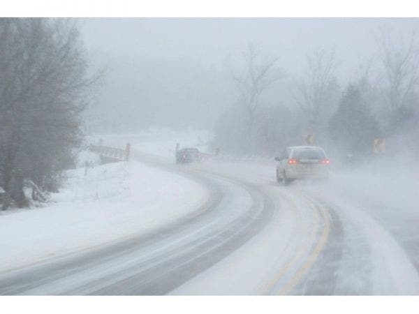
Patch file photo
Get more local news delivered straight to your inbox. Sign up for free Patch newsletters and alerts.