Community Corner
UPDATE: Greenwich Declares Snow Emergency as 'Crippling and Potentially Historic Blizzard' Bears Down on Town
The National Weather Service is advising residents not to travel from Monday afternoon through Tuesday.

Updated 10:53 p.m.:
The Town of Greenwich Board of Selectmen, acting as the Town’s parking and traffic authority, has declared a Snow Emergency effective 6 p.m. Sunday. Vehicles are not permitted to be parked or otherwise remain standing or stationary on posted Snow Emergency routes during a declared snow emergency. Vehicles not in compliance are subject to ticketing and immediate towing. Off-street municipally-owned parking lots can be used for parking vehicles displaced from Snow Emergency routes.
The Town’s Emergency Operations Center will be activated at noon Monday, Jan. 26. All appropriate municipal departments are preparing equipment and adding additional staff to be ready for this storm and its aftermath.
Find out what's happening in Greenwichfor free with the latest updates from Patch.
Original story:
The National Weather Service (NWS) has scrapped its blizzard watch and has now issued a blizzard warning that will go into effect for Greenwich from 1 p.m. Monday to midnight Tuesday night.
Find out what's happening in Greenwichfor free with the latest updates from Patch.
The NWS is calling the approaching storm a “crippling and potentially historic blizzard,” and is advising against traveling from Monday afternoon through Tuesday.
With predicted snow accumulations of 20 to 30 inches, the Town of Greenwich is preparing to declare a snow emergency which means on-street parking will be banned along snow emergency routes, according to First Selectman Peter Tesei.
Also, Greenwich Public Schools announced Sunday afternoon that “We will be watching closely to determine if the storms track as predicted, which may require an Early Release on Monday. The decision on whether or not to call an Early Release from schools on Monday will be made by the Superintendent no later than mid to late Monday morning.”
And the NWS also issued a coastal flood watch for moderate coastal flooding during Monday night into Tuesday morning’s high tide. There will be high surf and significant beach erosion is expected. Tides are expected to be 3 to 4 feet above the astronomical high tides with two- to four-foot waves.
The full forecast is below. Sign up for Greenwich Patch news alerts to stay on top of the latest weather news and more by clicking here.
Hazard types: heavy snow and blowing snow with blizzard conditions.
Snow accumulation: 20 to 30 inches, with locally higher amounts possible. Snowfall rates of 2 to 4 inches per hour expected late Monday night into Tuesday morning.
Winds: north 30 to 40 mph with gusts 55 to 65 mph.
Visibility: one-quarter mile or less at times.
Temperatures: in the lower 20s.
Timing: light snow will begin Monday morning with accumulations of 1 to 3 inches possible by the evening rush. Snow will pick up in intensity Monday evening, with the heaviest snow and strongest winds from about midnight Monday night into Tuesday afternoon.
Impacts: life-threatening conditions and extremely dangerous travel due to heavy snowfall and strong winds with whiteout conditions. Secondary and tertiary roads may become impassable. Strong winds may down power lines and tree limbs.
Precautionary/preparedness actions:
A blizzard warning means severe winter weather conditions are expected or occurring. Falling and blowing snow with strong winds. Poor visibility will lead to whiteout conditions making travel extremely dangerous. Do not travel. If you must travel, have a winter survival kit with you. If you get stranded, stay with your vehicle.
All unnecessary travel is discouraged beginning Monday afternoon to allow people already on the road to safely reach their destinations before the heavy snow begins and to allow snow removal equipment to begin to clear roads.
- Tonight: A chance of snow after 3 am. Increasing clouds, with a low around 20. Wind chill values between 10 and 15. North wind 6 to 9 mph. Chance of precipitation is 30%.
- Monday: A chance of snow before 9am, then snow likely with widespread blowing snow between 9am and 3pm, then snow with widespread blowing snow after 3pm. High near 25. Wind chill values between 5 and 10. Northeast wind 11 to 17 mph, with gusts as high as 29 mph. Chance of precipitation is 90%. New snow accumulation of 1 to 3 inches possible.
- Monday Night: Snow with widespread blowing snow. The snow could be heavy at times. Some thunder is also possible. Low around 19. Wind chill values between zero and 10. Windy, with a north wind 22 to 27 mph increasing to 33 to 38 mph after midnight. Winds could gust as high as 50 mph. Chance of precipitation is 100%. New snow accumulation of 11 to 17 inches possible.
- Tuesday: Snow with widespread blowing snow. The snow could be heavy at times. Some thunder is also possible. High near 22. Wind chill values between zero and 5. Windy, with a northwest wind around 37 mph, with gusts as high as 50 mph. Chance of precipitation is 100%. New snow accumulation of 10 to 14 inches possible.
- Tuesday Night: Snow with widespread blowing snow before midnight, then widespread blowing snow and a chance of snow between midnight and 3am, then widespread blowing snow and a slight chance of snow after 3am. Low around 14. Windy, with a northwest wind 32 to 37 mph decreasing to 21 to 26 mph after midnight. Winds could gust as high as 47 mph. Chance of precipitation is 80%. New snow accumulation of 1 to 2 inches possible.
- Wednesday: Mostly sunny, with a high near 27. Blustery.
- Wednesday Night: Partly cloudy, with a low around 13.
Related stories:
- Red Cross Offers Blizzard Preparation Safety Tips
- When In Greenwich, This is How to Deal With A Storm
- Greenwich Schools Announce Class Dismissal Plans
Have a news tip? Email barbara.heins@patch.com.
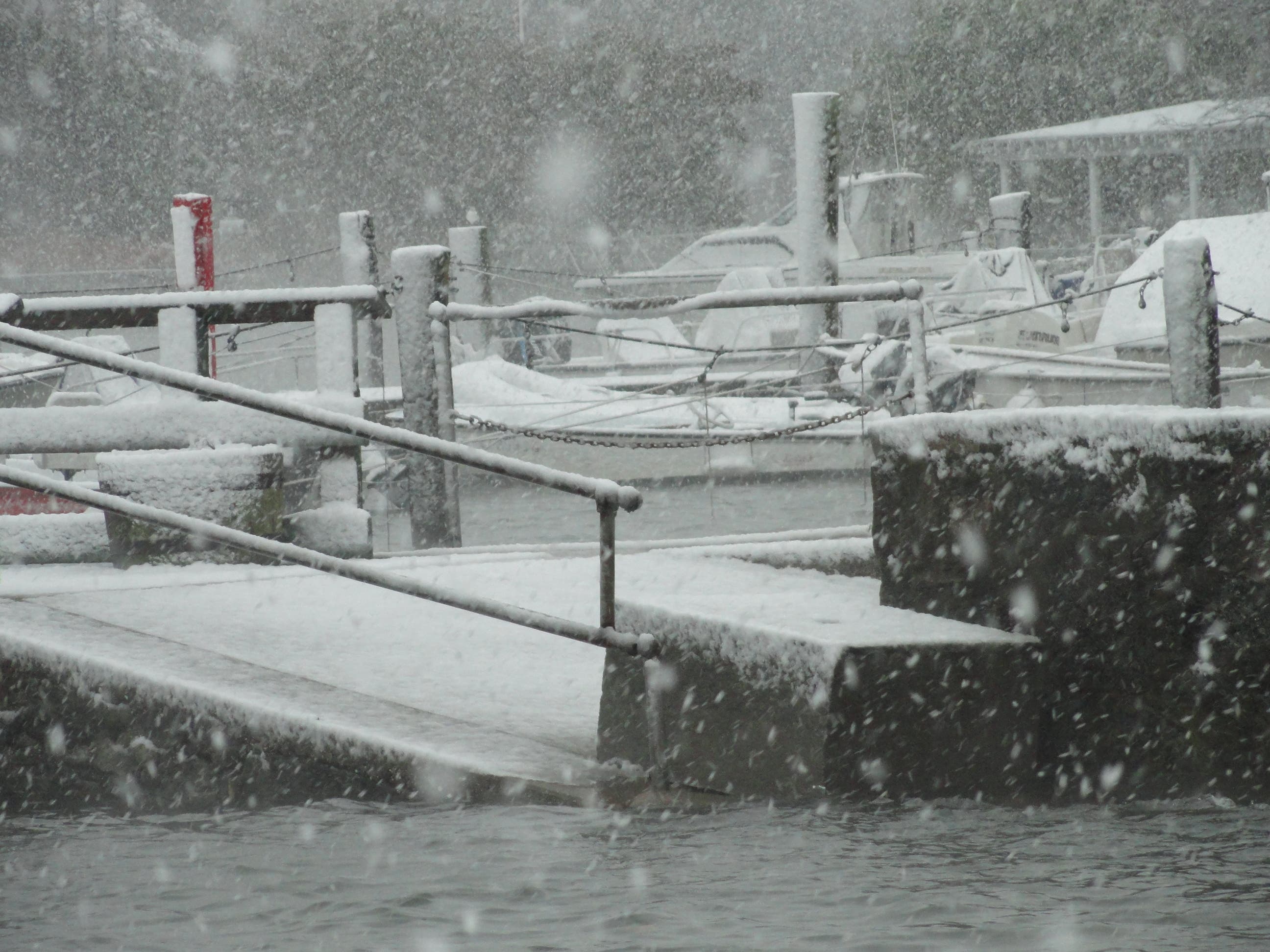
Photo credit: Barbara Heins.
Get more local news delivered straight to your inbox. Sign up for free Patch newsletters and alerts.