Weather
Connecticut Weather: Hour-By-Hour Forecast Of March 14 Nor'easter, Blizzard
Here's the latest updates on snow accumulation estimates and a timeline of when the snow begins and when it will be at its worst Tuesday.

A powerful and complex blizzard, Nor’easter is set to move into Connecticut in the early morning hours and in a very short period of time is expected to dump 1 to 2 feet of snow in most areas.
The two major changes in the forecast tonight are a Blizzard Warning has been extended to virtually the whole state except for the coastal areas of Middlesex and New London counties, which are under a Winter Storm Warning. It’s expected there will be some mixed precipitation there, which could keep snow accumulation below a foot.
The second biggest change is that most of the snow accumulation will occur in a seven hour time span, but during that period Connecticut could see snowfall rates of three to even four inches per hour, reports NBC Connecticut Meteorologist Ryan Hanrahan. (To signup and receive free news and weather alerts from your hometown in Connecticut click here.)
Find out what's happening in Greenwichfor free with the latest updates from Patch.
Gov. Dannel P. Malloy has already announced a travel ban beginning at 5 a.m. on Connecticut roads. See related story: Malloy Announces Impending Travel Ban Due To Connecticut Blizzard
Hanrahan on his Facebook page breaks down the timing of the blizzard, nor’easter into detail. First, snow makes its way into the state between 3 a.m. and 5 a.m. but the heavy snow begins between 6 and 7 a.m. in the western portion of Connecticut and 8 or 9 a.m. in the northeastern part of the state.
Find out what's happening in Greenwichfor free with the latest updates from Patch.
Hanrahan said the worst of the storm is expected between 9 a.m. to 4 p.m. Hanrahan notes that a “dry slot” may cut off precipitation quickly and some areas may see snow end by mid-afternoon and for the rest of the state the snow tapers off between 5 p.m. and 9 p.m.
Blizzard warning now in effect for all of CT except extreme SE (due to mixing). #nbcct
— Ryan Hanrahan (@ryanhanrahan) March 13, 2017
“Snowfall of up to 2 feet is possible in the hills and as little as 6" possible around New London. The most likely scenario is 12"-18" for Hartford/New Haven but there is a possibility of 18"-24" around Hartford!” Hanrahan said.
WTNH News 8 meteorologists are predicting 15 to 25 inches for most of the state and a bit less on the coast in Middlesex and New London counties where mixing is expected. A total of 10-15 inches is predicted there.
Here's our updated snowfall map for the storm. The best bet for 2' or more is in NW CT. #WTNHweather pic.twitter.com/mfRonpSuJ1
— Fred Campagna (@FredCampagna) March 13, 2017
The WFSB 3 TV meteorologists are predicting 16 to 24 inches for the west and central parts of the state and 8-14 inches in the far eastern part of Connecticut.
Here’s the latest update from the National Weather Service on accumulation estimates by county in Connecticut and a timeline of the storm:
Fairfield, New Haven and northern sections of Middlesex and New London counties:
Snow accumulates 12 to 24 inches and there could be a minor amount of ice too late Tuesday afternoon and evening. Snowfall rates of 2 inches to 3 inches per hour are possible very early Tuesday morning into Tuesday afternoon. Winds will be 25 to 35 mph with occasional gusts up to 55 mph.
The weather service says snow arrives in the western part of Connecticut by 3 a.m. and it’s largely over by 10 p.m. In the middle of the afternoon there could be some mixing at the coast. In interior sections it remains all snow.
Southern sections of Middlesex and New London counties:
Snow accumulates 8 to 12 inches. Heavy snow in the morning with possible blizzard conditions will mix with or change to sleet and rain Tuesday afternoon. Some ice accumulation is possible too.
Expect snowfall rates of 1 to 2 inches per hour here. Winds will be between 30 to 40 mph with gusts up to 55 mph.
Snow enters the area after 3 a.m. and around 2 p.m. there could be a mix from heavy snow to snow, sleet and rain. The mixed precipitation tapers off by 10 p.m., the weather service states.
Hartford and Tolland counties:
Snow is expected to accumulate 16 to 22 inches here and snowfall rates of 2 to 4 inches per hour are likely in the morning and into the afternoon. Winds will gust between 20 to 30 mph and reach 50 mph on occasion. The snow arrives between 5 a.m. and 7 a.m. The snow is forecast to wrap up by 9 p.m.
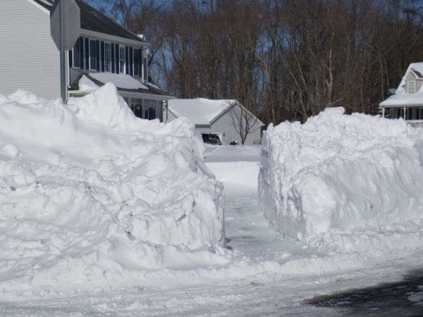
Photo credit: Tim Jensen
Get more local news delivered straight to your inbox. Sign up for free Patch newsletters and alerts.