Community Corner
WEATHER UPDATE: Hazardous Weather Outlook Issued for Stamford
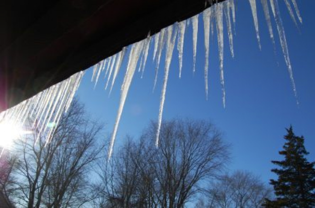
The National Weather Service cautions that some roads could be "treacherous" late Monday night and early Tuesday.

Despite temperatures in the high 40s to low 50s on Monday the National Weather Service (NWS) has issued a Hazardous Weather Outlook for the area.
Despite the feel that spring is indeed on its way, temperatures will plummet late tonight and whatever melted will freeze tonight, and make Tuesday’s commute to work and school potentially very slick, the weather service cautions.
The NWS specifically writes, “runoff from snow melt will refreeze tonight and patchy black ice will form as temperatures drop below the freezing mark and into the 20s.
Find out what's happening in Stamfordfor free with the latest updates from Patch.
“Untreated roads and sidewalks will become slick and icy. Motorists and pedestrians should exercise caution tonight as travel may be treacherous in spots,” according to the National Weather Service statement.
More melting will continue this week as temps will reach 50 on Wednesday, but then we could get a dose of reality by the weekend. A snow/rain mix is possible beginning late Friday and it could continue all the way into Sunday morning, the National Weather Service states.
Find out what's happening in Stamfordfor free with the latest updates from Patch.
We’ll have more on that, but for now enjoy the warmer temperatures and be careful driving and walking tomorrow.
To sign up for breaking Stamford news alerts and more, click here.
Get more local news delivered straight to your inbox. Sign up for free Patch newsletters and alerts.