Community Corner
How Much Snow Will We See in Connecticut?
Overall, warmer temperatures and less snow accumulation is the name of this storm's game, meteorologist Gil Simmons says.

The heaviest snow will fall in western Connecticut, while other areas of the state will see a mix of rain, snow and sleet today [Wednesday, Nov. 26], Storm Team 8 Meteorologist Gil Simmons said in his most recent report.
“A very tough forecast across the state as the storm has shifted closer and this means warmer with less snow,” Simmons wrote.
Towns will see less snow accumulation than originally predicted, with the exception of western Connecticut and northwestern Connecticut, where mostly snow is expected, he said. Be mindful of winds gusting 35 to 50 mph, particularly near the shore.
Find out what's happening in The Lymesfor free with the latest updates from Patch.
Check out Meteorologist Ryan Hanrahan’s video forecast below. He is predicting:
- Eight to 12 inches in Litchfield County
- Four inches in the Hartford-area
- Six to seven inches in Farmington Valley and Naugatuck Valley
- No accumulation along the shoreline beaches; two to four inches just inland
When Will the Winter Weather Withdraw?
Find out what's happening in The Lymesfor free with the latest updates from Patch.
Simmons predicts the snow and winter mix will end between 10 p.m. and 1 a.m. Thanksgiving’s forecast is calling for a cold and cloudy day, with temperatures in the 30 to 40-degree range.
Sunday and Monday’s forecast brings with it warmer temperatures — high 40s to low 50s — according to the National Weather Service.
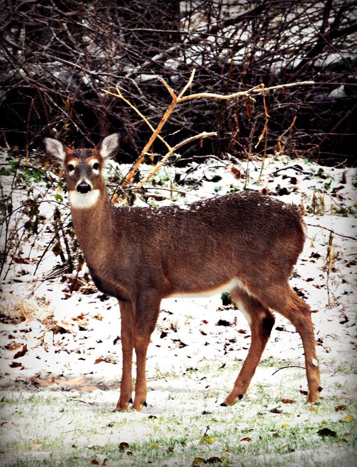
Photo Caption
Patch reader Vicki Persons Fitzsimmons took this photograph. The deer visited her yard Wednesday morning!
Get more local news delivered straight to your inbox. Sign up for free Patch newsletters and alerts.