Weather
Blizzard Warning In Effect For Wilton: Here's What To Expect
Here's a detailed look at what to expect on this snowy, windy day.

WILTON, CT — The National Weather Service has issued a Blizzard Warning for Wilton on Tuesday.
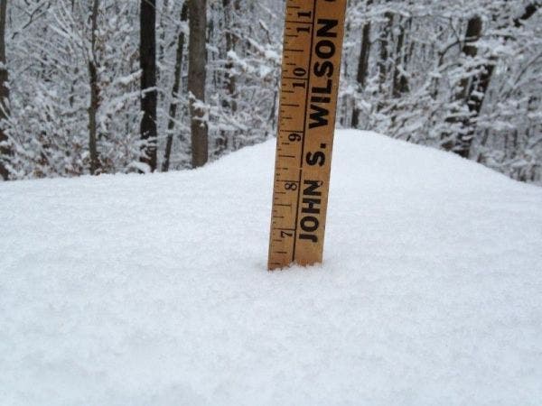
Here we can expect one to two feet of snow and snowfall rates of 2-4 inches per hour. Winds could gust in excess of 45 mph at times. There may be a period of mixing too in the afternoon. To sign up for Wilton breaking news alerts and more, click here.
Here's your detailed forecast via the National Weather Service:
This Afternoon
Snow and sleet, becoming all snow after 2pm. High near 28. Wind chill values between 10 and 15. Blustery, with a north wind 20 to 22 mph, with gusts as high as 32 mph. Chance of precipitation is 100%. Total daytime snow and sleet accumulation of 6 to 10 inches possible.
Find out what's happening in Wiltonfor free with the latest updates from Patch.
Tonight
A 30 percent chance of snow showers before 10pm. Mostly cloudy, with a low around 18. Wind chill values between 5 and 15. Blustery, with a west wind 14 to 21 mph.
Wednesday
Scattered snow showers, mainly after 11am. Mostly cloudy, with a high near 29. Wind chill values between 5 and 15. Blustery, with a northwest wind 11 to 20 mph. Chance of precipitation is 30%.
Find out what's happening in Wiltonfor free with the latest updates from Patch.
Wednesday Night
Mostly cloudy, with a low around 17. Wind chill values between 5 and 10. Northwest wind 11 to 14 mph.
Get more local news delivered straight to your inbox. Sign up for free Patch newsletters and alerts.