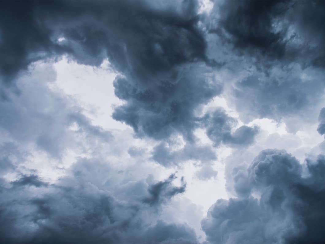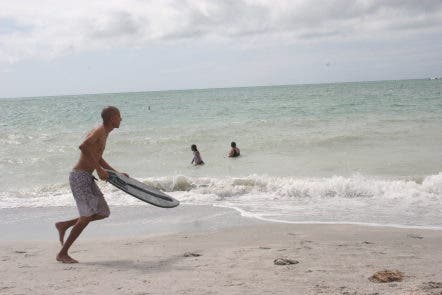
After last weekend’s torrential downpours, many Tampa Bay area residents are ready for a little fun in the sun.
The National Weather Service, however, says this particular weekend is likely to bring a mixed bag of conditions. While downpours of last week’s proportions are not likely in the cards, some storms are anticipated each day this weekend.
A rip current statement has also been issued for coastal areas, including Pinellas, Hillsborough, Manatee and Sarasota through Saturday at 8 p.m. due to an increasing west to southwest flow. The weather service cautions that rip current risks are high. Beachgoers are urged to heed lifeguard warnings.
Find out what's happening in Tampafor free with the latest updates from Patch.
Here’s a look at what the weather service says is in store for the Bay area over the next few days:
Friday
- High temperature – Upper 80s
- Low temperature – Upper 70s
- Rain chances – About a 30 percent chance in much of the region for scattered thunderstorms.
Saturday
- High temperature – Upper 80s
- Low temperature – Upper 70s
- Rain chances – Thunderstorms are likely in parts of the region during the daytime hours with a 60 percent chance forecast. The chances drop to about 30 percent overnight.
Sunday
- High temperature – About 90
- Low temperature – Upper 70s
- Rain chances – About a 40 percent chance during the day and evening hours.
Monday kicks off with a high around 88 anticipated and a 40 percent chance of storms during the daytime.
Find out what's happening in Tampafor free with the latest updates from Patch.
For a complete look at weather in your neighborhood, check out your local Patch’s homepage.
Image via Shutterstock
Get more local news delivered straight to your inbox. Sign up for free Patch newsletters and alerts.