Home & Garden
Workweek Weather: Steamy, Stormy Conditions Likely
Summertime weather has arrived in the Tampa Bay area.

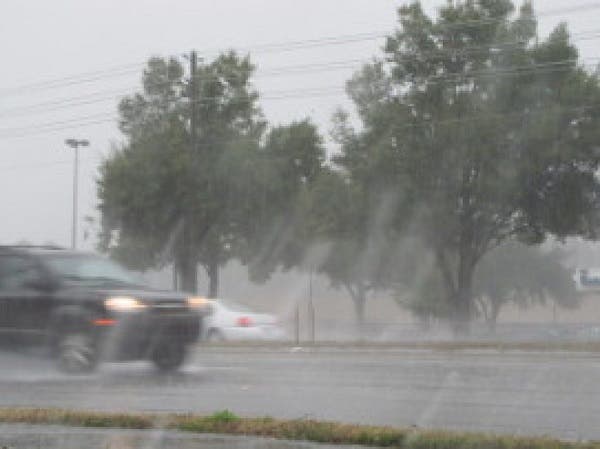
With highs in the low 90s and thunderstorms possible daily, this week is likely to give newcomers to the Tampa Bay area a good idea of what’s in store for the summer ahead.
Monday kicks things off with an anticipated high just over 90 in most parts of the region. Thunderstorm chances rise to about 40 percent in the afternoon and evening hours. Tuesday will be a bit cooler with a high around 90 expected and storm chances again climbing into the 40 percent range, according to the National Weather Service.
Wednesday is expected to bring a higher chance for storms at 50 percent during the daytime hours with scattered storms also likely in the overnight hours. The high that day should climb to about 91.
Find out what's happening in Tampafor free with the latest updates from Patch.
Thursday and Friday bring slightly cooler temperatures with highs in the upper 80s forecast in most parts of the Bay. Storm chances linger heading into the weekend.
While no organized severe storms were anticipated by forecasters as of Monday morning, the weather service does warn that thunderstorms this week could dump locally heavy rain and may produce gusty winds and frequent lightning strikes.
Find out what's happening in Tampafor free with the latest updates from Patch.
For a complete look at Bay area weather, visit the National Weather Service online.
Patch file photo
Keep up with what’s happening around town and the state by signing up for your favorite Patch daily newsletter: Bloomingdale-Riverview, Bradenton, Brandon, Carrollwood-Northdale, Clearwater, Dunedin, East Lake, Gulfport, Land O’ Lakes, Largo, Lutz, New Port Richey, New Tampa, Palm Harbor, Pinellas Beaches, Safety Harbor, Sarasota, Seminole Heights, South Tampa-Hyde Park, St. Pete, Tarpon Springs, Temple Terrace, Westchase.`
Get more local news delivered straight to your inbox. Sign up for free Patch newsletters and alerts.