Home & Garden
Workweek Weather: What to Expect
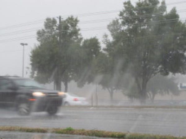
Thunderstorms are possible throughout the Bay most afternoons.

Grab those umbrellas and prepare to sweat.
The National Weather Service is forecasting a fairly typical summertime week ahead for the Tampa Bay area. That means thunderstorms are likely to make daily appearances and highs should climb into the upper 80s and low 90s most days.
Monday kicks things off with what forecasters anticipate will be the hottest day of the workweek. The high temperature during the mostly sunny day should exceed 90 in most parts of the Bay. Storm chances move in during the afternoon hours with thunderstorms possible, as well.
Find out what's happening in Tampafor free with the latest updates from Patch.
Tuesday kicks off with a 40 percent chance of scattered thunderstorms throughout the region, mainly after 11 a.m. The high that day should reach about 90 in most parts of the region. Storm chances drop overnight into the 20 percent range with Wednesday anticipated to start off bright and sunny with a high only in the upper 80s. Rain chances on Wednesday are again set at 40 percent with Thursday shaping up to be a near repeat in most parts of the Bay.
Friday kicks off the weekend with a high anticipated to break the 90 mark and a 30 percent chance of thunderstorms. Those storm chances linger daily throughout the upcoming weekend.
Find out what's happening in Tampafor free with the latest updates from Patch.
Forecasters warn that storms that do develop will be capable of producing strong winds, locally heavy rain and frequent lightning strikes. While storms are possible each day this week, drier air is anticipated to move in by Thursday, which could result in fewer storms in some parts of the region.
For a complete look at weather in your neighborhood, visit the National Weather Service online.
Patch file photo
Get more local news delivered straight to your inbox. Sign up for free Patch newsletters and alerts.