Tampa Bay area residents not ready to leave behind the mild, sunny weather from the weekend won’t have to say goodbye just yet.
The National Weather Service is forecasting a sunny start to the week Monday with a high in the mid-80s throughout the Bay. A partly cloudy night with a low in the mid-60s will usher in a few days where rain chances creep back into the picture though.
Forecasters anticipate about a 20 percent chance of thunderstorms on Tuesday and Wednesday with highs again reaching into the mid-80s with lows in the upper 60s.
Find out what's happening in Tampafor free with the latest updates from Patch.
As of Monday morning, the forecast for the latter half of the week was expected to bring a return of sunny days with highs in the mid-80s.
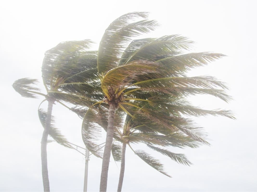
While rain chances throughout the week are not overly high, forecasters have put up a “Red Flag Warning” for most of the Bay area courtesy of conditions that are ripe for fire activity. Relative humidity is expected to be in the normal range, but breezy conditions, especially in inland Hillsborough, Manatee and Sarasota counties, may “contribute to dangerous fire behavior” Monday, the service warned in its Hazardous Weather Outlook report.
Find out what's happening in Tampafor free with the latest updates from Patch.
Those breezy conditions may also kick up winds along Bay area waters in the 20 knot range. Small craft operators are warned to take care.
For a complete look at Tampa Bay area weather, visit the National Weather Service online.
Image via Shutterstock
See Also:
- April’s Top Reads: 1 Hungry Bobcat, Rubio 2016, Bakery Takes a Stand
- Could Hurricane Season’s First Big Storm Develop Off the Coast This Week?
- 48 Job Openings: HCA, Aaron’s, Lowry Park Zoo
Keep up with what’s happening around town and the state by signing up for your favorite Patch daily newsletter: Bloomingdale-Riverview, Bradenton, Brandon, Carrollwood-Northdale, Clearwater, Dunedin, East Lake, Gulfport, Land O’ Lakes, Largo, Lutz, New Port Richey, New Tampa, Palm Harbor, Pinellas Beaches, Safety Harbor, Sarasota, Seminole Heights, South Tampa-Hyde Park, St. Pete, Tarpon Springs, Temple Terrace, Westchase.
Get more local news delivered straight to your inbox. Sign up for free Patch newsletters and alerts.