Weather
Flooding Potential, Thousands Without Power In GA As Isaias Moves Inland
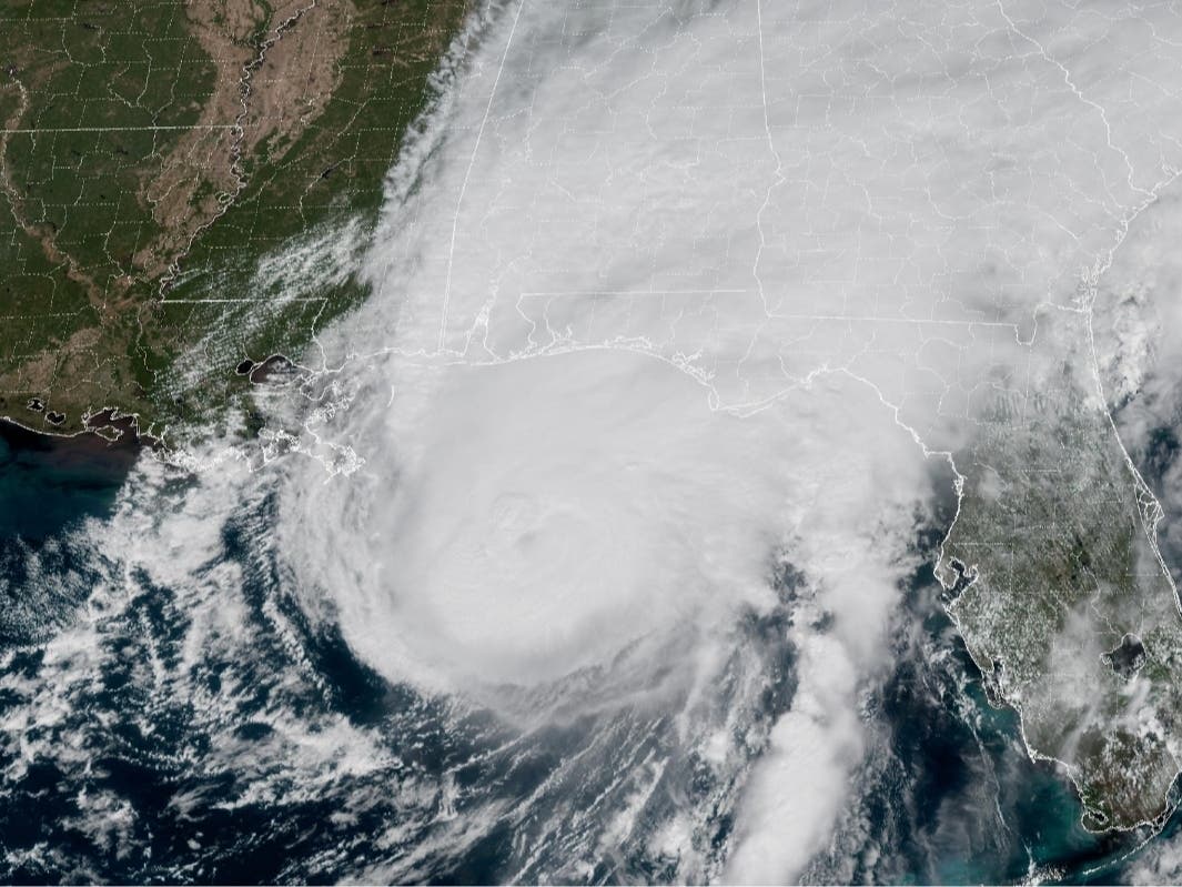
Hurricane Isaias continued to bring impacts across the Southeast Saturday morning.


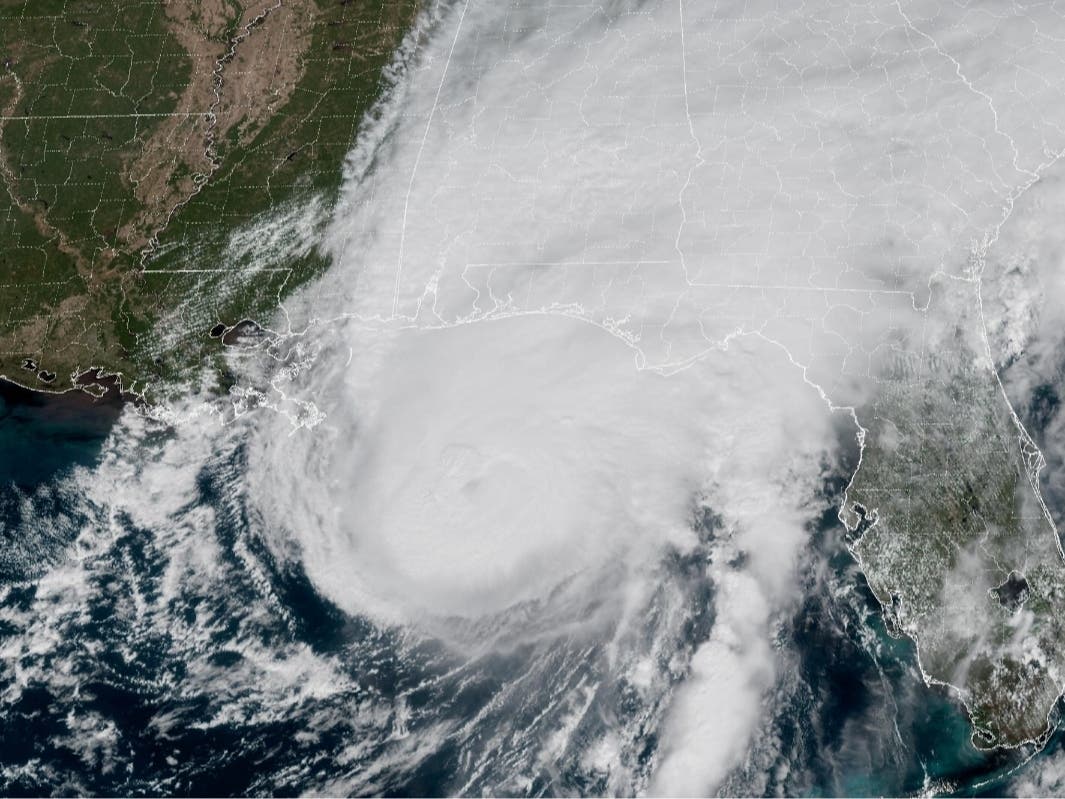
Hurricane Isaias continued to bring impacts across the Southeast Saturday morning, prompting flash flooding, damaging winds, widespread power outages in Georgia as the storm moved farther inland after making landfall along the Florida Panhandle Friday night.
The National Weather Service (NWS) forecast office in Peachtree City issued a flash flood warning Saturday morning for portions of metro Atlanta, including Clayton, DeKalb, Fulton, Gwinnett, Henry and Rockdale counties, as heavy rainfall threatened to inundate roads, neighborhoods and low-lying areas.
The warning, issued at 7:12 a.m. EDT, remains in effect until 1:15 p.m. Saturday.
Find out what's happening in Across Georgiafor free with the latest updates from Patch.
According to the NWS, between 1 and 3 inches of rain had already fallen across the warned area Saturday morning, with an additional 2 to 3 inches possible as bands of heavy rainfall continued moving through the region.
Forecasters warned that flash flooding was already occurring or expected to begin shortly, with urban streets, highways, underpasses, small creeks and streams particularly vulnerable.
Find out what's happening in Across Georgiafor free with the latest updates from Patch.
Meanwhile, power outages continued mounting across Georgia as strong winds brought down trees and power lines.
The latest numbers show 99,787 customers without power as of the publication of this story, with the following counties being the hardest hit:
- Gwinnett County: 9,943 outages
- DeKalb County: 7,171 outages
- Fulton County: 5,397 outages
- Cherokee County: 4,191 outages
- Pickens County: 4,041 outages
- Hall County: 3,827 outages
- Walton County: 3,686 outages
- Lumpkin County: 3,392 outages
Although Isaias weakened to a post-tropical cyclone early Saturday after making landfall near Destin, Florida, as a Category 2 hurricane with maximum sustained winds of 105 mph, forecasters emphasized that the storm's most dangerous impacts were far from over.
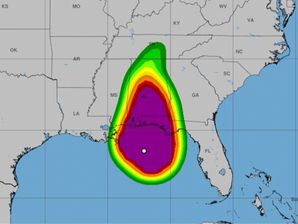
The NWS issued a high wind warning for portions of north and central Georgia through 8 a.m. Sunday, with sustained easterly winds of 15 to 25 mph and gusts reaching 50 mph. Stronger gusts are possible in the north Georgia mountains.
The warning includes metro Atlanta and surrounding counties, with forecasters cautioning that saturated soil could make trees more susceptible to falling.
Damaging winds could also create hazardous travel conditions, particularly for high-profile vehicles, while additional power outages remain possible.
As Patch previously reported, Georgia was spared a direct hurricane landfall, but forecasters warned that the storm's expansive circulation could bring significant impacts throughout the state.
In earlier reporting by Patch, National Weather Service meteorologist Sam Marlow warned that dangerous conditions could extend well beyond the storm's center.
"The impact from the storm will be felt well outside the center," Marlow told Patch.
The latest NWS forecast Saturday morning called for widespread rainfall totals of 1 to 4 inches across much of Georgia, with isolated areas potentially receiving as much as 8 inches before the storm moves out.
Forecasters said portions of western Georgia had already received between 1 and 4 inches of rain, while additional bands of heavy rainfall could bring worsening conditions to eastern and northern portions of the state.
A flood watch remains in effect for much of Georgia through Sunday morning, with the NWS warning that excessive runoff could cause rivers, creeks and streams to overflow.
The threat of isolated tornadoes also remains Saturday as the storm's outer rainbands continue moving across the state.
Gov. Brian Kemp declared a statewide emergency Thursday for all 159 Georgia counties, allowing state agencies to mobilize additional resources and coordinate emergency response efforts.
On Saturday morning, Kemp said he had spoken with Federal Emergency Management Agency officials as the state continued assessing the storm's impacts.
Residents are urged to avoid flooded roads, secure loose outdoor objects and remain alert for rapidly changing weather conditions.
The NWS also cautioned motorists against attempting to drive through floodwaters, noting that most flood-related deaths occur in vehicles.
This is a developing story. Patch will provide additional updates as information becomes available.
Get more local news delivered straight to your inbox. Sign up for free Patch newsletters and alerts.