Weather
60 MPH Winds, Hail To Slam GA Amid Storms: Forecast
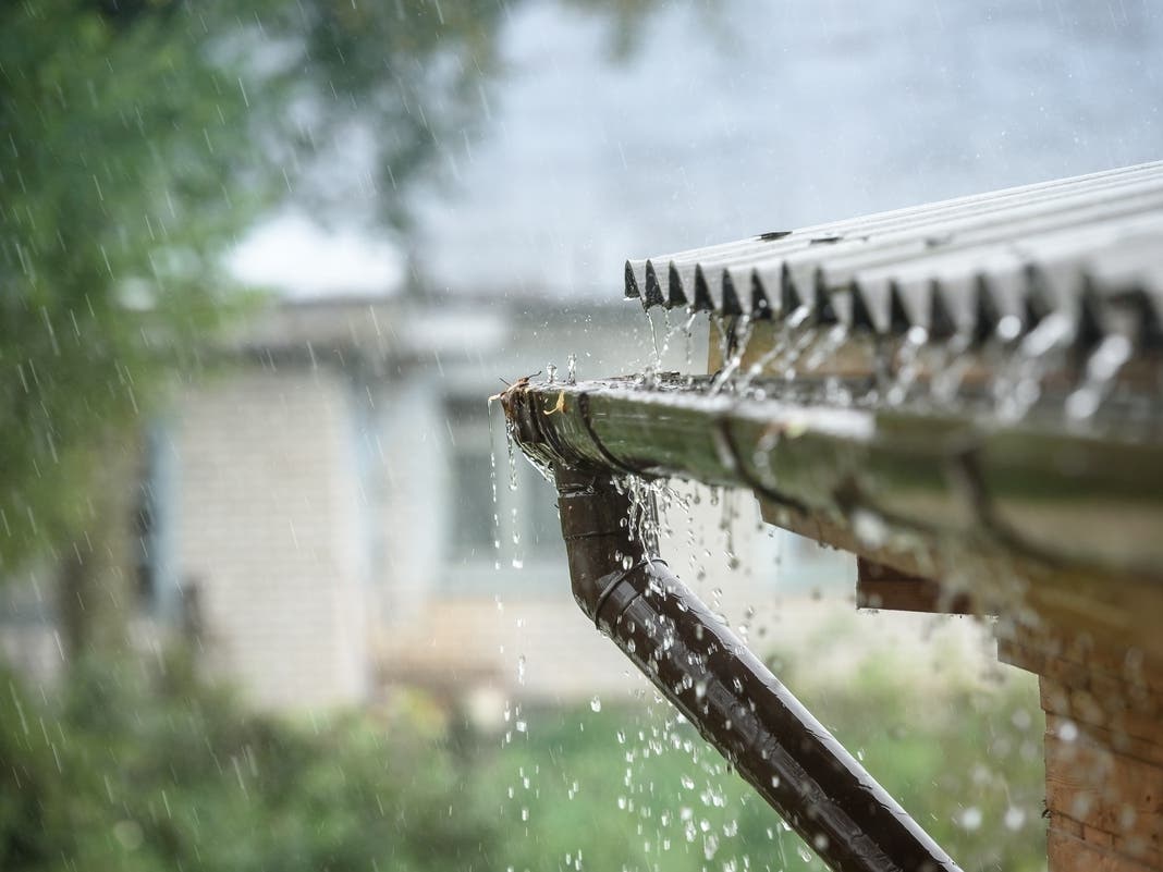
Forecasters told Patch storms with 60 mph wind gusts could knock down trees, and if trees fall on power lines, outages may occur in Georgia.

Hail, lightning and 60 mph wind gusts are anticipated with a round of storms that will target Georgia through the weekend, forecasters told Patch on Thursday.
Though the risk of a tornado is currently low, National Weather Service meteorologist Luke Culver said a twister cannot be ruled out as a potential hazard.
Moisture will be coming into Georgia from the Gulf's southwest flow, but it will be a system from the Plains that will significantly generate the storms, Culver said.
Find out what's happening in Atlantafor free with the latest updates from Patch.
A drizzle or two may arrive before 1 p.m. Thursday, but Culver said rain is primarily expected to come after midnight. He surmised a front entering Georgia's north and central regions may bring scattered to widespread showers and few thunderstorms between 3 a.m. and 11 a.m. Friday.
With this specific system, there is no chance for frequent lightning or gusty winds; however, thunder may rumble before the storms travel south.
Find out what's happening in Atlantafor free with the latest updates from Patch.
The downpour that may put Georgians on alert will come around 10 to 11 p.m. Friday into at least Saturday morning.
This round of storms could produce strong wind gusts, pea to dime-sized hail and lightning with a possible tornado. At 60 mph, winds could "easily knock down branches" and take down trees due to soaked soils, Culver said.
If a tree falls on a power line, outages may occur. Culver said any possible power outages will be localized in areas where storms are severe. This will not be a "widespread damaging wind event," he added.
.png)
He added the NWS could not immediately pinpoint a specific area for the risks due to the widespread nature of the system. Most of north and central Georgia will be hit by the second wave of rain, he said.
The overall threat could clear out by Saturday night though few showers may linger into Sunday morning. By sunrise Sunday, Culver said drier air will persevere; so will cooler temperatures.
Georgia, particularly metro Atlanta, has recently warmed up a bit. The NWS reported a high of 76 degrees Thursday.
Culver warned more wintry-like temperatures are on the way through at least Monday or Tuesday, when lows could reach 20 degrees.
Updates will be posted on the weather service's Twitter page, the weather service's Facebook page and its website.
Here is the National Weather Service's early Thursday afternoon forecast for metro Atlanta:
Today: A chance of drizzle before 1 p.m. Partly sunny, with a high near 76. Southwest wind 10-15 mph, with gusts as high as 25 mph.
Tonight: A chance of showers between 3 a.m. and 4 a.m., then a chance of showers and thunderstorms after 4 a.m. Mostly cloudy, with a low around 63. South wind 10-15 mph, with gusts as high as 25 mph. Chance of precipitation is 50 percent.
Friday: A chance of showers and thunderstorms before 7 a.m., then a chance of showers between 7 a.m. and 1 p.m. Partly sunny, with a high near 75. West wind 10-15 mph, with gusts as high as 25 mph. Chance of precipitation is 50 percent. New precipitation amounts between a tenth and quarter of an inch, except higher amounts possible in thunderstorms.
Friday Night: Showers likely, mainly after 1 a.m. Mostly cloudy, with a low around 57. Northwest wind around 5 mph becoming calm. Chance of precipitation is 70 percent.
Saturday: Showers likely before 10 a.m., then showers likely and possibly a thunderstorm between 10 a.m. and 1 p.m., then a chance of showers after 1 p.m. Mostly cloudy, with a high near 68. Southwest wind 5-10 mph becoming northwest in the afternoon. Chance of precipitation is 70 percent.
Saturday Night: A 40 percent chance of showers. Mostly cloudy, with a low around 41.
Sunday: Sunny, with a high near 51.
Sunday Night: Mostly clear, with a low around 30.
Monday: Sunny, with a high near 44.
Monday Night: Mostly clear, with a low around 27.
Tuesday: Sunny, with a high near 51.
Tuesday Night: Mostly clear, with a low around 32.
Wednesday: Partly sunny, with a high near 59.
Get more local news delivered straight to your inbox. Sign up for free Patch newsletters and alerts.