Weather
Snow Chances Linger As New Winter Storm Eyes GA: See Timeline
The probability of snow remains in metro Atlanta and much of Georgia, with forecasters warning icy roads may be a concern this weekend.

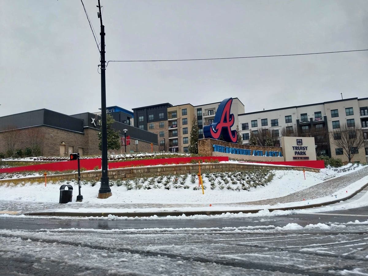
Forecasters on Friday warned the chances of a snowstorm in Georgia, including metro Atlanta, have not fizzled out as residents head into the Dr. Martin Luther King Jr. Day weekend.
Patch spoke with National Weather Service meteorologist Katie Martin, who said a winter system could be eyeing Georgia with one region possibly seeing some form of precipitation as soon as Friday night.
Rain in the north Georgia mountains could transform into snow at nightfall into Saturday morning, she told Patch. Residents may experience half an inch of snow.
Find out what's happening in Atlantafor free with the latest updates from Patch.
"We're hoping that folks keep in mind that does mean mountain roads and bridges could become slick," Martin said.
Though there are uncertainties with the system, she noted the rest of the state may not be spared during the holiday weekend.
Find out what's happening in Atlantafor free with the latest updates from Patch.
Snow is possible as far north as the mountains and as far south as Vidalia and Americus on Saturday night into Sunday morning.
This includes central Georgia but does not rule out metro Atlanta, Martin said. Weather could look like a mixture of rain and snow, or just snowfall.
The system may primarily focus on areas south of the Interstate 85 corridor, driving snow accumulations in Columbus, Macon, Warner Robins, Milledgeville, Eatonton and Madison.
Martin warned there is still time for the system to shift, and precipitation could still happen for areas north and along the I-85 corridor.
The tricky part, she said, is that sunset temperatures on Sunday will drop and may not reach above freezing until around 10 a.m. Monday in central Georgia. This means rain or any other form of water on the roads will refreeze, and icy roadways may be concerning.
In metro Atlanta, Martin said there is a 10 percent chance of half-inch snow accumulations and 5 percent probability of 1 inch of snow accumulating. On Thursday, the NWS forecasted an 18 percent chance in Atlanta.
"The metro is on the razor edge of will ingredients come together to produce snow," she said.
Any precipitation should clear out as early as 8 a.m. Sunday in metro Atlanta and by the afternoon in central Georgia, moving along to possibly hit coastal and south Georgia.
But, even so, Martin said to "be ready to take precautions from the cold."
High temperatures are expected to be in the upper 30s to lower 40s on Sunday in metro Atlanta, with possible winds of 10-15 mph.
Celebrants of MLK Day should be aware Monday will be "dry but cold," Martin said.
Temperatures may climb into the 50s by Wednesday and in the 60s on Thursday in the metro, she said.
She advised people stay updated and be mindful of pets, pipes and their loved ones during the cold weather.
Updates will be posted on the weather service's Twitter page, the weather service's Facebook page and its website.
Here is the National Weather Service's Friday morning forecast for metro Atlanta:
Today: Sunny, with a high near 51. South wind 5-10 mph, with gusts as high as 20 mph.
Tonight: Showers likely, mainly between 1 a.m. and 5 a.m. Mostly cloudy, with a low around 40. South wind around 10 mph, with gusts as high as 20 mph. Chance of precipitation is 60 percent. New precipitation amounts between a tenth and quarter of an inch possible.
Saturday: A 30 percent chance of showers, mainly before 7 a.m. Partly sunny, with a high near 51. West wind 5-10 mph, with gusts as high as 20 mph.
Saturday Night: A 20 percent chance of showers before 1 a.m. Mostly cloudy, with a low around 30. Northwest wind 5-10 mph, with gusts as high as 15 mph.
Sunday: Mostly sunny, with a high near 39. West wind around 10 mph, with gusts as high as 20 mph.
Sunday Night: Clear, with a low around 26.
M.L.King Day: Sunny, with a high near 46.
Monday Night: Mostly clear, with a low around 23.
Tuesday: Sunny, with a high near 41.
Tuesday Night: Mostly clear, with a low around 24.
Wednesday: Sunny, with a high near 53.
Wednesday Night: A 20 percent chance of showers. Mostly cloudy, with a low around 35.
Thursday: A 20 percent chance of showers. Partly sunny, with a high near 57.
Get more local news delivered straight to your inbox. Sign up for free Patch newsletters and alerts.