Health & Fitness
Relief on the Horizon
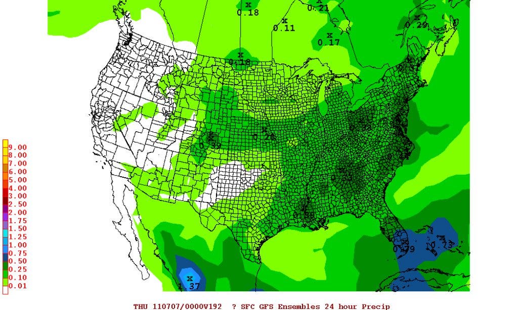
Still more than a week away, but it's looking like relief is on the way.


You might remember over the winter how the two major models, the GFS and ECMWF (Euro) were having a battle, and the Euro won almost everytime. Not the case now. The GFS has been outperfoming the Euro by a considerable margin this spring and so far this summer.
Now the long term GFS is showing a large pattern change coming up for later next week. This is only the 2nd time this season that the flow turns into a real Bermuda flow with significant moisture advecting into our area. It begins late next week (roughly Thursday), after the large heat ridge starts to weaken. The westerlies will be very far north so we won't be dealing with the west to east flow down here, instead a weakness aloft will reside between the two main ridges, so we have a slight trough in the nations midsection, with strong ridging in the southwest and off the southeast coast.
The big deal for us in the southeast will be the flow around this extremely strong Bermuda high. We haven't seen one that strong in a few years so anything that gets going in the Gulf, even if it has no major organization, should setup a really juicy flow off the Gulf, with traditional southwest flow aloft and a ton of tropical moisture. The bottom line will be daily showers that will start early and cover a lot of area in the southeast giving us a very wet pattern. Above normal rains will be almost everywhere in the southeast in addition to the increased chances for tropical disturbances to move from the Gulf into our area.
Find out what's happening in Duluthfor free with the latest updates from Patch.
We're still more than a week away but it's starting to look like relief is over the horizon.
For all your latest weather, please visit DaculaWeather.com. You can also follow us onTwitter and Facebook.