Community Corner
UPDATE: Break Out the Snow Plows, Midtown
Mother Nature has decided that the metro area needs even more winter, prompting a new winter weather advisory for Wednesday and Thursday.

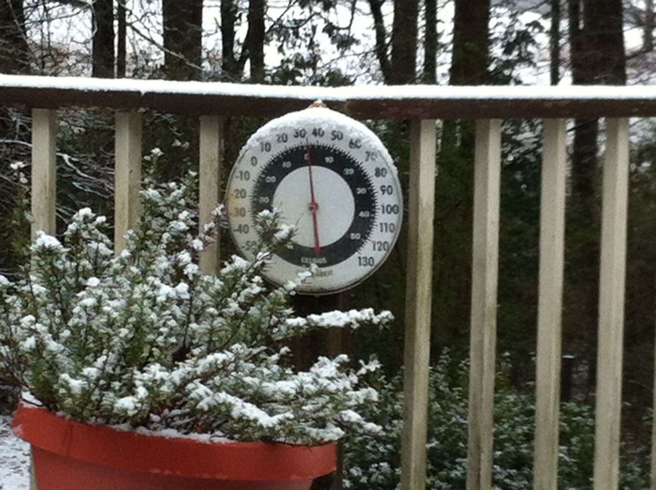
Photo: Scott Bernarde
Can it be summer now?
UPDATE (4:30 p.m.): Oh, joy.
Find out what's happening in Kennesawfor free with the latest updates from Patch.
The National Weather Service has officially upgraded their winter storm warning for Wednesday and Thursday to a winter storm warning, meaning that we’re officially in for another round of bone-chilling weather.
According to the warning, we could be in for up to two to four inches of snow between 10 a.m. Wednesday and 10 a.m. Thursday. Of course, no winter storm would be complete without sleet or freezing rain, and the NWS says we could get a nice mixing of it as well.
Find out what's happening in Kennesawfor free with the latest updates from Patch.
Folks in the southern metro area may get off a little bit easier, with an accumulation of one or two inches, the NWS says. Forecasts predict that temperatures overnight Wednesday and into Thursday will remain below freezing.
ORIGINAL STORY (12:30 p.m.): Unfortunately for Kennesaw and the rest of the metro area, winter’s cold embrace is expected to continue through Thursday, bringing more snow and ice with it.
The National Weather Service has issued a winter storm warning for the area, which will run from 10 a.m. Wednesday to 7 a.m. Thursday. According to the warning, we can look forward to anywhere from two to four inches of snow. Our friends in the north Georgia mountains could get pummeled with six inches, the NWS says.
“Accumulations of snow along with freezing temperatures will result in slick roadways and make travel hazardous,” according to the NWS.
If your stomach can handle it, get the latest forecast for Kennesaw here.
Get more local news delivered straight to your inbox. Sign up for free Patch newsletters and alerts.