Community Corner
Roswell GIS Awarded 2019 Distinguished System Award
The awards recognize achievements of geospatial information technology that improve the delivery and quality of government services.

ROSWELL, GA — The City of Roswell’s Geographic Information Systems (GIS) Division has been awarded a "Distinguished System" award for its submission to the 2019 Urban & Regional Systems Association (URISA) Exemplary Systems in Government (ESIG) Awards Competition.
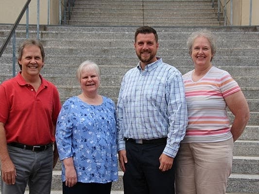
"We are excited and extremely proud to be recognized by URISA as their 2019 Distinguished System. This award is a testament to the thoughtful growth and considerable work invested by each member of the GIS Division. City leadership has provided us with a ton of support and we truly appreciate this belief in our team," said Patrick Baber, Roswell GIS Manager. Community Development Director, Alice Wakefield, says this award is only a testament to Baber's great leadership.
Since 1980, URISA's ESIG Awards have recognized extraordinary achievements in the use of geospatial information technology that have improved the delivery and quality of government services. The award competition is open to all public agencies at the federal, state/provincial, regional and local levels.
Find out what's happening in Roswellfor free with the latest updates from Patch.
Roswell was awarded the "Distinguished System" in the "Enterprise System" category. Roswell GIS was the only system recognized as "Distinguished" in 2019. Systems in this category are outstanding and working examples of using information systems technology in a multi-department environment as part of an integrated process. These systems exemplify effective use of technology yielding widespread improvements in the process(es) and/or service(s) involved and/or cost savings to the organization.
The City of Roswell's GIS Division supports the activities of the City of Roswell and its citizens by maintaining and disseminating accurate, current and complete geospatial data. The GIS Division of the Roswell Community Development Department is responsible for updating and maintaining a variety of data layers including, but not limited to, Parcels, Land Use, Zoning, Street Centerlines, Addresses, Lakes & Streams, City Limits, and Building Footprints.The City GIS empowers managers and citizens to make decisions that impact the future of the City of Roswell in a conversant and logical approach.
Find out what's happening in Roswellfor free with the latest updates from Patch.
The City's award submission can be viewed at www.urisa.org.
Get more local news delivered straight to your inbox. Sign up for free Patch newsletters and alerts.