Community Corner
Snow Could Hit Chicago Area During Evening Commute
Today's rain could turn to snow. A period of snow, which could be heavy at times, is expected this afternoon and early this evening.

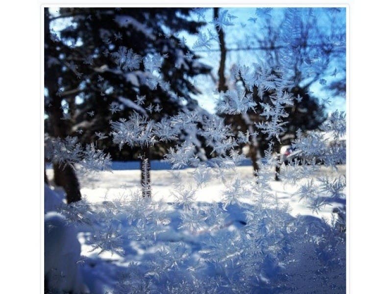
A period of snow is possible over north central and far northwest Illinois this afternoon and early this evening, according to the National Weather Service. Snow may come down heavily for a time period with some accumulation possible "especially on elevated and grassy surfaces."
- » Get live traffic and transit updates or dial 511 for road conditions
Prior to that, rain is expected with some thunderstorms in the forecast --- mainly south of Interstate 80. There is also a chance of snow between 9 p.m. and 2 a.m. tonight.
Heading into the Easter weekend, temps are expected to reach a high in the low-40s for Good Friday with sunny skies. Here is a more detailed look at the forecast for the coming days:
Friday Night: Mostly clear, with a low around 36. East wind 5 to 10 mph.
Saturday: A 20 percent chance of rain after 2 p.m. Partly sunny, with a high near 57. South wind 10 to 15 mph.
Saturday Night: A 30 percent chance of rain, mainly after 2 a.m. Mostly cloudy, with a low around 41.
Sunday: Rain likely, mainly after 8 a.m. Cloudy, with a high near 48. Chance of precipitation is 60 percent.
Sunday Night: Rain likely, mainly before 8 p.m. Mostly cloudy, with a low around 35.
Monday: A chance of rain before 8 a.m. Sunny, with a high near 49.
Monday Night: Mostly clear, with a low around 36.
Tuesday: Sunny, with a high near 51.
Tuesday Night: Partly cloudy, with a low around 41.
Wednesday: A slight chance of showers. Partly sunny, with a high near 59.
Get more local news delivered straight to your inbox. Sign up for free Patch newsletters and alerts.