Health & Fitness
Is Eastbound Work Zone Speed Limit Enforceable on Wheaton Section of Butterfield Road?
Does all work area signing on Butterfield Rd (eastbound from Herrick Rd) meet the highway standards for the speed limit to be enforceable? Maybe not.

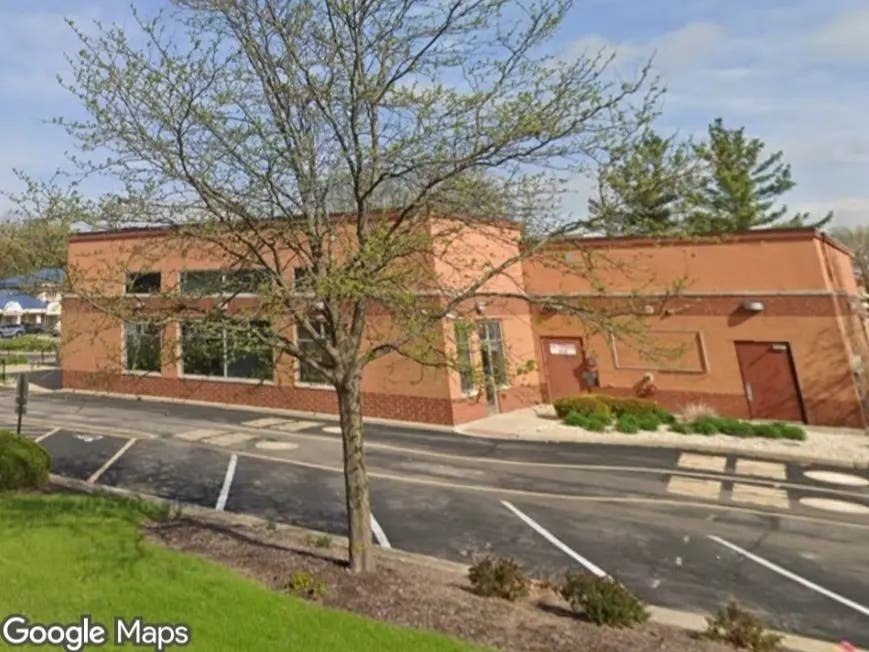
I'm a current resident of Wheaton, IL. just off of Route 56 on West Loop Rd and at least 3 times a week I drive the eastbound stretch of Butterfield from Winfield Rd to home where the posted speed limit of 35 feels a bit slow but tolerable because it is one lane each way. However, soon after Herrick Rd the lanes open up and feels something like normal conditions (no narrow lanes, no edge drop-offs, no lane reduction, etc.) and instead of an End Road Work sign there's five more signs indicating the 35mph speed limit over the next 2.5 miles until you reach East Loop Rd.
Is it because that is considered the end of the project? If the signs in the eastbound area between Herrick Rd and East Loop Rd appear obsolete then it's hard to believe the rest of the signs represent the current status of the project which is a reason why we tend to disregard all and not just some of them. In this case is it mistake of fact or general intent when drivers speed in this section of Butterfield? It took some digging online to conclude that the problem could be in the signing and if those here met the recommended highway standards to be enforceable. Including, should an end work zone speed limit sign have been placed soon after the termination zone (area where lane reduction ends and normal driving typically resumes) close to Herrick Rd and nearly 2.43 miles west of it's current location? Also, are work zone speed limit signs in compliance with the maximum spacing between each one?
It appears the location of the End Work Zone Speed Limit sign could be open to interpretation, however, I've noticed in multiple documents that the sign spacing should be at intervals of 990 feet (MIN) and 1,980 feet (MAX). The analysis below pertains to only the section of road work heading eastbound from Herrick Rd to East Loop Rd as of March 6th, 2013. Points represent actual locations within a few feet and was taken with using Google Maps while the distances between two points were figured using a online coordinate distance calculator (like http://boulter.com/gps/distance/).
Find out what's happening in Wheatonfor free with the latest updates from Patch.
- A = Last construction barrel in the termination zone heading eastbound
- B - F = Work Zone Speed Limit Signs (35mph)
- G = End Work Zone Speed Limit Sign (same as East Loop Rd)
- Herrick Rd = 41.83111 N 88.14755W
- A = 41.83121 N 88.14505 W
- B = 41.83062 N 88.13939 W B- A = .29 mi or 1,531.2 ft
- C = 41.82939 N 88.12938 W C - B = .52 mi or 2,745.6 ft
- D = 41.82860 N 88.11965 W D - C = .51 mi or 2,692.8 ft
- E = 41.82863 N 88.10973 W E - D = .51 mi or 2,692.8 ft
- F = 41.82870 N 88.10270 W F - E = .36 mi or 1,900.8 ft
- G = 41.82900 N 88.09656 W G - F = .32 mi or 1,689.6 ft
- A - G = 2.51 mi or 13,252.8 ft
- .475 mi or 2,508 ft AVG spacing between B-F
- Work zone speed limit sign spacing at 35mph = 990 ft MIN to 1,980 ft MAX
---------ASSUMPTIONS---------
2,508 ft AVG is 21% more than the maximum allowed spacing for the posted speed - The work zone heading eastbound from Herrick Rd extends approximately 2.43 miles beyond what is recommended (recommended road work end is 400 ft past last construction barrel in termination zone) - The work zone speed limit should not be enforced in the 2.43 miles after the termination zone because the signs do not comply with the Highway Standards.