Weather
Snow, Sleet May Impact Thursday Commute In Maryland
Maryland is in for a cold, wet and potentially icy end of the week as winter weather arrives, according to the National Weather Service.

MARYLAND — Sleet and freezing rain, with a dash of snow, may complicate conditions on the Thursday morning commute. The forecast in central Maryland calls for rain, snow, sleet and freezing rain, with snow and ice accumulating in the western part of the state. Heavy rain and flooding are possible on the Eastern Shore.
"Thursday morning’s predicted wintry mix of precipitation will make for slippery conditions on roadways in our region and will create a headache for commuters heading to work and school," AAA Mid-Atlantic Public and Government Affairs Manager Ragina Cooper Averella said in a statement. "Roads that are slick or ice-covered can create a worst-case scenario for drivers."
To stay safe, drivers should plan ahead and give themselves extra time for the Thursday morning commute.
Find out what's happening in Baltimorefor free with the latest updates from Patch.
A brief period of snow may transition to sleet and freezing rain in the morning then rain Thursday afternoon, according to the National Weather Service forecast discussion.
Multiple counties are under winter weather advisories around central and northern Maryland.
Find out what's happening in Baltimorefor free with the latest updates from Patch.
On the Eastern Shore, the National Weather Service issued a hazardous weather outlook calling for "heavy precipitation and gusty winds" with the potential for a wintry mix and localized flooding Thursday and Friday. Caroline, Cecil, Kent, Queen Anne's and Talbot counties are included in that.
In western Maryland, a winter storm warning in Allegany and Frederick counties calls for up to 5 inches of snow and ice at least 0.25 inch thick through Friday.
See a map of the latest warnings and watches from the National Weather Service.
(For more news like this, find your local Patch here. If you have an iPhone, click here to get the free Patch iPhone app; download the free Patch Android app here. And like Patch on Facebook!)
Authorities say windy conditions are in store across the state on Friday, Nov. 16, with cooler temps to continue through next week.
Here is the Baltimore area forecast from the National Weather Service:
Wednesday, Nov. 14: Mostly sunny, with a high near 43 and low of 30. North wind around 5 mph. Chance of evening precipitation is 30 percent.
Thursday, Nov. 15: Rain, snow, freezing rain and sleet before 11 a.m., transitioning to freezing rain and sleet between until 2 p.m., followed by just rain after 2 p.m. Temperatures will hover around 37. Northeast wind 7 to 16 mph, with gusts as high as 24 mph. Chance of precipitation is 100%. New ice accumulation of less than 0.1 inch possible. Little/no snow and sleet accumulation.
Friday, Nov. 16: Rain, snow, and sleet likely before 8 a.m. High near 45 and low of 30. West wind 11 to 14 mph, with gusts as high as 24 mph. Chance of precipitation is 70%.
Saturday, Nov. 17: Sunny, with a high near 46 and low around 32.
Sunday, Nov. 18: Mostly sunny, with a high near 45 and low around 33.
Monday, Nov. 19: Mostly sunny, with a high near 46 and low of 28.
The weather service advised that temperatures this week, in the 40s, are about 10 degrees lower than usual.
If snow came, that would be ahead of the usual time for the Baltimore area.
According to WBAL meteorologist Tom Tasselmyer, the first snow last year was on Dec. 9, and the Baltimore area has not seen snow in November since 2014.
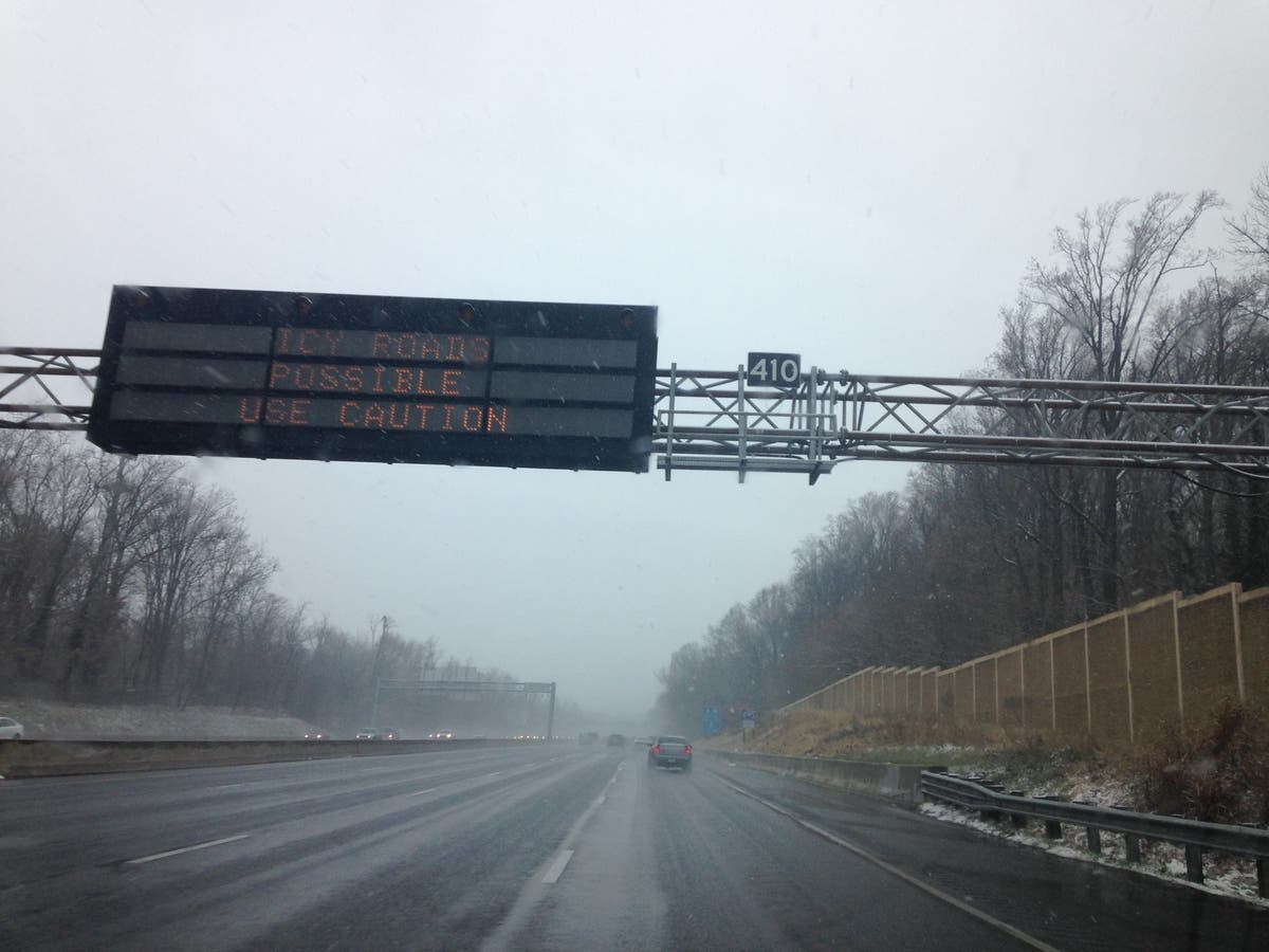
File photo of sign on Interstate 695 by Elizabeth Janney.
This article has been updated.
Get more local news delivered straight to your inbox. Sign up for free Patch newsletters and alerts.