Community Corner
First-Day-of-Spring Snow Totals Around Bel Air
The National Weather Service provides preliminary reports on accumulations.


Winter is having its last hurrah until spring officially starts at 6:45 p.m. on Friday, March 20.
A rain-snow mix hit Bel Air in the morning rush hour, and Harford County was under a winter weather advisory until 2 p.m. for snow. Approximately 1 to 3 inches of snow were projected.
Here are preliminary snow totals from the National Weather Service:
Find out what's happening in Bel Airfor free with the latest updates from Patch.
- 2.3 inches in Norrisville; reported at 2:30 p.m.
- 1.2 inches in Havre de Grace; reported at 9:37 a.m.
- 1 inch in east Norrisville; reported at 8:44 a.m.
Get the Bel Air Patch newsletter for updates!
The most snow so far is in Allegany County, where Frostburg had 6 inches at approximately 11:30 a.m.; and Washington County, where Cascade had 6 inches at 2 p.m.
Find out what's happening in Bel Airfor free with the latest updates from Patch.
Did you take any snow pics or measurements in Bel Air? Show us in the comments or on the Bel Air Patch Facebook page!
Schools opened on a normal schedule in Harford County.
Carroll County (where Westminster was reporting 3.3 inches of snow by 10:30 a.m.) and Baltimore County’s Hereford Zone (where Phoenix was reporting 2 inches at 9 a.m.) opened on a two-hour delay Friday. Allegany County Public Schools were closed.
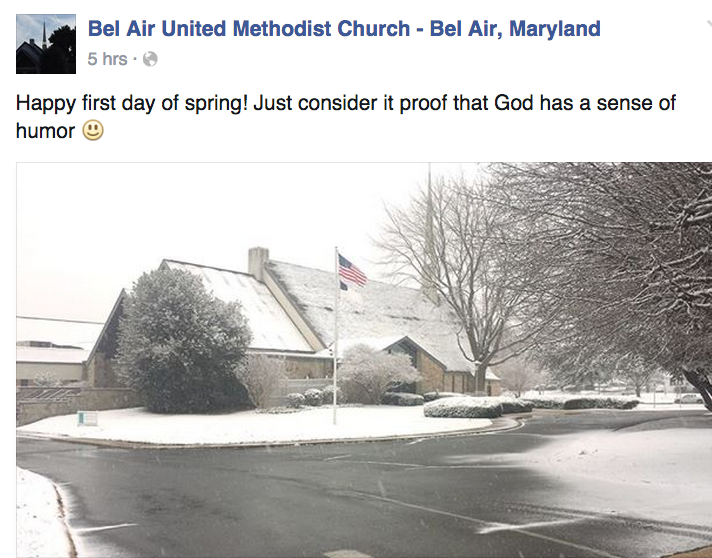
Photo Credit: CHART and Bel Air United Methodist/Facebook.
Get more local news delivered straight to your inbox. Sign up for free Patch newsletters and alerts.