Community Corner
Snow Possible in Bethesda: Weather Service
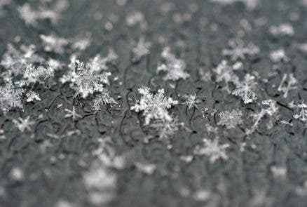
Flurries could fall Thursday morning, temperatures to plummet through the weekend.

Snow is in the forecast for Montgomery County until 11 a.m. on Thursday, according to the National Weather Service.
Accumulation will be less than half an inch, the weather service reported.
Have you seen any snow? Tell us in the comments!
Find out what's happening in Bethesda-Chevy Chasefor free with the latest updates from Patch.
Thursday morning snow showers may affect Carroll, Baltimore, Harford, Howard, Montgomery and Washington counties, according to the National Weather Service.
At approximately 9:15 a.m., WUSA 9 reported the heaviest snow was in the Westminster area with light snow between Baltimore and Washington, D.C.
Find out what's happening in Bethesda-Chevy Chasefor free with the latest updates from Patch.
The line of snow showers is projected to travel across northern and central Maryland and parts of West Virginia and northern Virginia, according to the weather service.
Thursday morning’s flurries are the tip of the iceberg for cold weather headed to the area. Temperatures will plummet over the next several days, with a high in the teens on Sunday, according to the National Weather Service.
See the latest forecast for Bethesda here.
Baltimore City has declared a “code blue” status from Thursday, Feb. 12, to Monday, Feb. 16, due to anticipated wind chills below zero.
Get more local news delivered straight to your inbox. Sign up for free Patch newsletters and alerts.