Community Corner
Early Warning Flood Sensors Installed Across Montgomery County To Detect Perilous Roads
Early warning flood sensors have been installed in 23 locations across Montgomery County and an additional 12 sensors will be set up.


MONTGOMERY COUNTY, MD — The county's expanded early warning flood sensor program that alerts residents about flooded roadways, potential dam failures and streams overflowing their banks has 35 high-tech sensors being installed across the county. The U.S Department of Homeland Security Science and Technology Directorate has provided the county with the sensors.
Each sensor is solar powered and has an internal battery to maintain operations during inclement weather. The sensors use a tethered node that is placed underwater that detects the amount of pressure placed upon it by the water and calculates the depth of the water. Every five minutes, data is sent from the sensor by a cell phone card to a master display. A small color camera also sends images back to the main display.
Every location has pre-determined thresholds for water depths for the sensor to alert that water levels are approaching or exceeding flood stage. If they are, a crew is sent to investigate the potential flooding and whether a low-lying road needs to be cleared, or if an emergency action plan for a dam needs to be activated.
Find out what's happening in Germantownfor free with the latest updates from Patch.
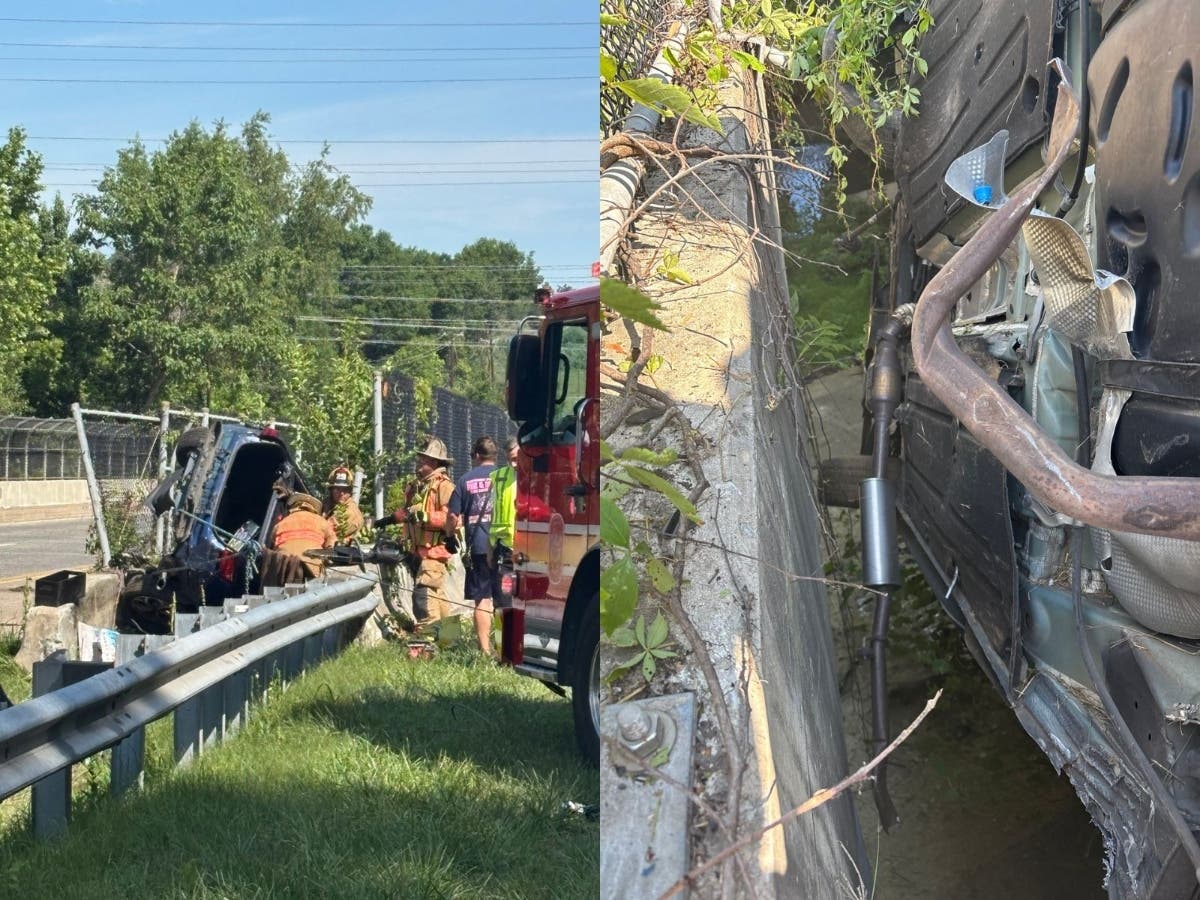
“This partnership between DHS and the county is critical to our efforts in warning Montgomery County residents about dangerous and life-threatening floods,” Montgomery County Executive Marc Elrich said. “Just a few weeks ago, heavy rain caused flash flooding that left several drivers stranded in their vehicles in Bethesda. Flooding also led to road closures in parts of the county. Luckily, no one was seriously hurt. The county is no stranger to this kind of weather event, but now that we have these flood sensors, we can notify residents sooner of where flooding is happening so they can avoid danger.”
County Fire Chief Scott Goldstein said the fire and rescue service is among the first to respond when flooding issues occur and threaten the safety of residents.
Find out what's happening in Germantownfor free with the latest updates from Patch.
“Whenever heavy rain and flash flooding are predicted, rescue crews in the county have prepared for the inevitable,” Goldstein said. “In the past, several areas have been susceptible to flooding and have put residents at risk, but now we have tools in our toolbox that can provide us early warning in order to prepare resources to respond to emergencies—and more importantly—alert Montgomery County residents that live and travel in those areas.”
Heavy rains that cause flooding are becoming harder to anticipate due to the impacts of climate change.
“Because of climate change, we are seeing more frequent and more intense rainfall,” Acting DEP Director and County Climate Change Officer Adriana Hochberg said. “These high-tech flood sensors are a crucial tool in managing the effects of a warmer planet.”
Sensors have been installed in 23 locations and an additional 12 sensors will be set up. The locations of the installed sensors are:
- Rock Creek Woods Apartments
- University Boulevard pond
- Wheaton—downstream of dam
- Olney Oaks Regional
- Wheaton Pond dam
- Lake Hallowell
- Vineyard
- Christie Estates
- Great Seneca Creek at Brink Road
- Rattlewood Golf Course dam
- 8900 block of Gue Road at unnamed creek
- 11200 block of Game Preserve Road
- New Cut Road at Little Seneca Creek
- Environ HOA
- Gunners Lake dam
- Lake Whetstone
- Pueblo
- Sligo Creek at Knowles Avenue
- Hawlings River at Brighton Dam Road
- Reddy Branch at Brookeville Road
- Pine Lake dam
- Hawlings River at Zion Road
- Burnt Mills dam
Get more local news delivered straight to your inbox. Sign up for free Patch newsletters and alerts.