Schools
TU's Center For GIS Takes A Deep Dive Into Maryland's Election Results
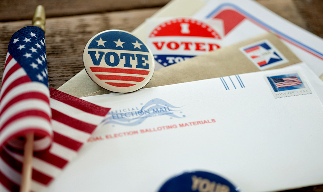
Maps show how Maryland voted on election day
November 23, 2020
Find out what's happening in Towsonfor free with the latest updates from Patch.
Nearly three weeks after Election Day, it's becoming clear how Marylanders voted thanks
Towson University’s Center for GIS, which has assembled stunning new data maps to get a closer look at the county level. The maps take look at the pattern of preference
for president across the state, the margins of victory, and the winners when broken
down by voting method.
The Center for GIS works collaboratively with clients to identify, analyze, and better
understand data to enhance information access, deliver new insights, and utilize technology
to inform business decisions. The center provides a full range of application development
services, geospatial data development and analysis, and customized GIS training.
Find out what's happening in Towsonfor free with the latest updates from Patch.
Learn more about the maps and take a deep dive into the numbers on the EngageTU blog.
This story is one of several related to President Kim Schatzel’s priorities for Towson University: TU Matters to Maryland and BTU-Partnerships at Work for Greater Baltimore.
This press release was produced by Towson University. The views expressed here are the author’s own.