Community Corner
Snow Forecast in Braintree Monday Night into Tuesday
The area could see several inches by tomorrow afternoon.

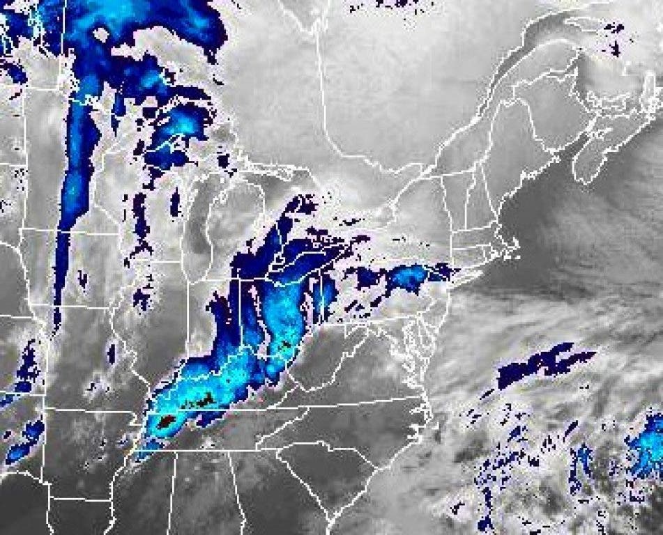
The National Weather Service has issued a Winter Weather Advisory for Braintree and much of eastern New England ahead of a storm that could bring four to eight inches to the area Monday night through Tuesday evening.
The advisory is in effect from 9 p.m. Monday night through 11 a.m. Tuesday morning. It advises residents that the Tuesday morning commute could see a "high impact."
In Braintree, the NWS is predicting snow starting mainly after 1 a.m. Monday night and accumulating three to five inches, with another one to three possible through Tuesday. Winds will likely hover between 9 mph and 21 mph throughout that timeframe.
Find out what's happening in Braintreefor free with the latest updates from Patch.
Tuesday night could see a mix of rain and snow, with clearing on Wednesday.
From the advisory:
Find out what's happening in Braintreefor free with the latest updates from Patch.
"A WINTER WEATHER ADVISORY IS ISSUED WHEN SNOW AND/OR ICE IS FORECAST TO DEVELOP IN THE AFFECTED AREAS...BUT ACCUMULATIONS ARE EXPECTED TO BE LIGHT. ANY SNOW OR ICE WOULD MAKE DRIVING AND WALKING DIFFICULT...BUT NOT IMPOSSIBLE...ON UNTREATED ROADWAYS AND SIDEWALKS. WHEN TEMPERATURES ARE BELOW FREEZING...MOTORISTS NEED TO BE ESPECIALLY CAREFUL ON BRIDGES AND OVERPASSES WHERE SLIPPERY SPOTS CAN EASILY DEVELOP."
Get more local news delivered straight to your inbox. Sign up for free Patch newsletters and alerts.