Seasonal & Holidays
What Time Will T-Storms Hit Lexington?
The National Weather Service issued a 'severe' thunderstorm alert for the region.

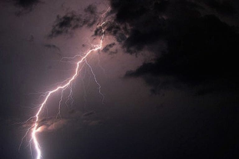
Rain and thunderstorms will likely hit the region today.
The National Weather Service issued an alert, predicting the greatest potential for the storms is from 3 p.m. to 9 p.m.
Here’s the hourly forecast from weather.com:
Find out what's happening in Lexingtonfor free with the latest updates from Patch.
- 11 a.m. Cloudy, 73 degrees.
- Noon Cloudy, 74.
- 1 p.m. Cloudy, 74.
- 2 p.m. Cloudy, 75.
- 3 p.m. Cloudy, 76.
- 4 p.m. 45 percent chance of rain/thunderstorms. 74.
- 5 p.m. 50% chance of rain/t-storms. 75.
- 6 p.m. 50% chance of rain/t-storms. 74.
- 7 p.m. 45% chance of rain/t-storms. 73.
- 8 p.m. 25% chance of rain/t-storms. 72.
- 9 p.m. 35% chance of rain/t-storms. 68.
- 10 p.m. 20% chance of rain/t-storms. 68.
- 11 p.m. 20% chance of rain. 66.
- Midnight 20% chance of rain. 65.
Here’s more from NWS:
- A FEW STRONG TO SEVERE THUNDERSTORMS ARE POSSIBLE BETWEEN 3 PM AND 9 PM THIS EVENING.
- THE MAIN POTENTIAL FOR THIS ACTIVITY IS TO THE NORTHWEST OF A BOSTON TO PROVIDENCE LINE. HOWEVER...
- THE HIGHEST RISK EXISTS ACROSS WESTERN MASSACHUSETTS AND NORTHERN CONNECTICUT. THE MAIN RISK WITH ANY STRONG TO SEVERE THUNDERSTORM WILL BE ISOLATED DAMAGING WIND GUSTS AND HAIL TO THE SIZE OF QUARTERS. DANGEROUS CLOUD TO GROUND LIGHTNING AND LOCALLY HEAVY RAINFALL MAY RESULT IN BRIEF NUISANCE POOR DRAINAGE STREET FLOODING.
- THOSE WITH OUTDOOR PLANS LATER THIS AFTERNOON AND EVENING SHOULD STAY IN CONTACT WITH THE LATEST WEATHER INFORMATION AND KEEP A CLOSE EYE TO SKY. REMEMBER...IF YOU HEAR THUNDER YOU ARE CLOSE ENOUGH TO GET STRUCK BY LIGHTNING SO SEEK AN INDOOR SHELTER IMMEDIATELY.
Photo credit: Shutterstock
Find out what's happening in Lexingtonfor free with the latest updates from Patch.
Get more local news delivered straight to your inbox. Sign up for free Patch newsletters and alerts.