Community Corner
Natick Weather: Another 3-6 Inches of Snow
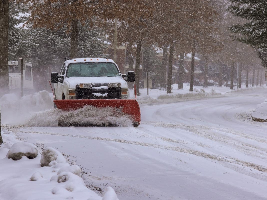
Natick's getting another 3-6 inches of snow Monday after the town was dusted with a few inches early Sunday.



NATICK, MA — Natick will get hit with another 3-6 inches of snow Monday.
The snow is expected to start around 7 a.m., according to the National Weather Service. There will be a light 5-10 mph wind; highs will hover around 30 degrees.
Natick was placed under a winter weather advisory Monday from 3 a.m. to 8 p.m.
Find out what's happening in Natickfor free with the latest updates from Patch.
- LOCATIONS...ALL OF SOUTHERN NEW ENGLAND EXCEPT FOR THE IMMEDIATE SOUTH COAST...CAPE COD AND THE ISLANDS.
- ACCUMULATIONS...SNOW ACCUMULATION OF 3 TO 6 INCHES. BEST CHANCE OF THE HIGHER AMOUNTS WILL BE ACROSS THE HIGH TERRAIN.
- TIMING...SNOW WILL QUICKLY OVERSPREAD WESTERN MASSACHUSETTS AND NORTHERN CONNECTICUT BETWEEN 3 AND 5 AM. THE SNOW SHOULD THEN MOVE INTO RHODE ISLAND AND EASTERN MASSACHUSETTS BETWEEN 5 AND 7 AM. THE BULK OF THE ACCUMULATING SNOW WILL OCCUR THROUGH MID TO LATE AFTERNOON...BUT SOME SNOW MAY LINGER INTO MONDAY EVENING ESPECIALLY SOUTH OF THE MASSACHUSETTS TURNPIKE.
Find out what's happening in Natickfor free with the latest updates from Patch.
Get more local news delivered straight to your inbox. Sign up for free Patch newsletters and alerts.