Health & Fitness
See EEE, West Nile Risk Maps For MA
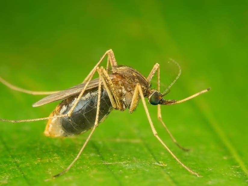
Mosquitoes with EEE have been found in two places in Massachusetts recently, increasing the risk level.

SUDBURY, MA — You might remember that ubiquitous map from late last summer, the one showing big splotches of red in parts of Massachusetts that were at "critical" risk of Eastern Equine Encephalitis.
That map is back, although thankfully the EEE and West Nile risk across the state is very low right now. According to maps released by the state Department of Public Health, most towns are at "low" risk of mosquito-borne diseases. Some communities, mainly in the Boston area, are at "remote" risk, the lowest level possible.
But the state has discovered mosquitoes infected with EEE in two locations — near Middleborough and in the Orange area. The risk levels near those communities have been set to "moderate."
Find out what's happening in Sudburyfor free with the latest updates from Patch.
EEE appeared in Massachusetts late last summer, sickening 12 people and killing three. Thirty-five communities, many in the MetroWest area, were at "critical" risk of EEE well into the fall. The deadly virus typically appears once every decade, but can last through several seasons, according to health officials.

Outbreaks of mosquito-borne diseases typically last until the first "hard" frost in late fall and early winter, when it's cold enough to kill mosquitoes that are still around.
Find out what's happening in Sudburyfor free with the latest updates from Patch.
Right now, mosquito control districts are out across the state spraying various pesticides to kill mosquito larvae. You can find a full list of local mosquito control districts on the state website, including spraying schedules.
Get more local news delivered straight to your inbox. Sign up for free Patch newsletters and alerts.