Weather
Hazardous Weather Outlook Issued For Central Minnesota
Meanwhile, up to 12 inches of snow could fall in parts of northern Minnesota this week.


MINNESOTA — This week's winter storm will bring heavy snow starting Wednesday. The National Weather Service has issued a winter storm warning for western and northern Minnesota, as well as northern Wisconsin. The warning will last until Friday at noon.
"Confidence is very high that at least 6 inches of snow will fall within this region," says the NWS. "Please strongly consider not traveling if you are in the Winter Storm Warning."
A hazardous weather outlook was also issued for central Minnesota, including the Twin Cities metro counties.
Find out what's happening in Southwest Minneapolisfor free with the latest updates from Patch.
In the metro on Wednesday through Friday, the winter storm will bring heavy snow and wind. The wind chill could fall to 30 degrees below zero by Friday evening.

Here's the current forecast for the Twin Cities from the National Weather Service:
Find out what's happening in Southwest Minneapolisfor free with the latest updates from Patch.
Wednesday: A 50 percent chance of snow, mainly after 2 p.m. Cloudy, with a high near 33. East wind 5 to 10 mph. New snow accumulation of less than a half inch possible.
Wednesday Night: Snow before 1 a.m., then rain and snow between 1 a.m. and 3 a.m., then rain after 3 a.m. Low around 32. East southeast wind 10 to 15 mph. Chance of precipitation is 100 percent. New snow accumulation of 1 to 3 inches possible.
Thursday: Rain. High near 37. East wind 10 to 15 mph. Chance of precipitation is 90 percent. New precipitation amounts between a half and three quarters of an inch possible.
Thursday Night: Snow likely, possibly mixed with rain before 5 a.m., then snow likely, possibly mixed with freezing rain. Cloudy, with a low around 28. North wind 5 to 15 mph. Chance of precipitation is 70 percent. New snow accumulation of less than a half inch possible.
Friday: Snow likely, possibly mixed with freezing rain, becoming all snow after 10 a.m. Cloudy, with a temperature falling to around 22 by 5 p.m. North wind 10 to 15 mph, with gusts as high as 25 mph. Chance of precipitation is 60 percent. New snow accumulation of less than a half inch possible.
Friday Night: Mostly cloudy, with a low around 5. North northwest wind 5 to 15 mph.
Saturday: Partly sunny, with a high near 12. Northwest wind around 5 mph becoming west southwest in the afternoon.
Saturday Night: Partly cloudy, with a low around 5. South southwest wind around 5 mph.
Sunday: Mostly sunny, with a high near 26. Southwest wind 5 to 10 mph.
Sunday Night: Mostly cloudy, with a low around 19. Southwest wind around 10 mph.
Monday: A 30 percent chance of snow. Partly sunny, with a high near 29. West wind around 10 mph.
Monday Night: A 30 percent chance of snow. Mostly cloudy, with a low around 12. West northwest wind around 10 mph.
New Year's Day: Partly sunny, with a high near 17. West northwest wind around 10 mph.
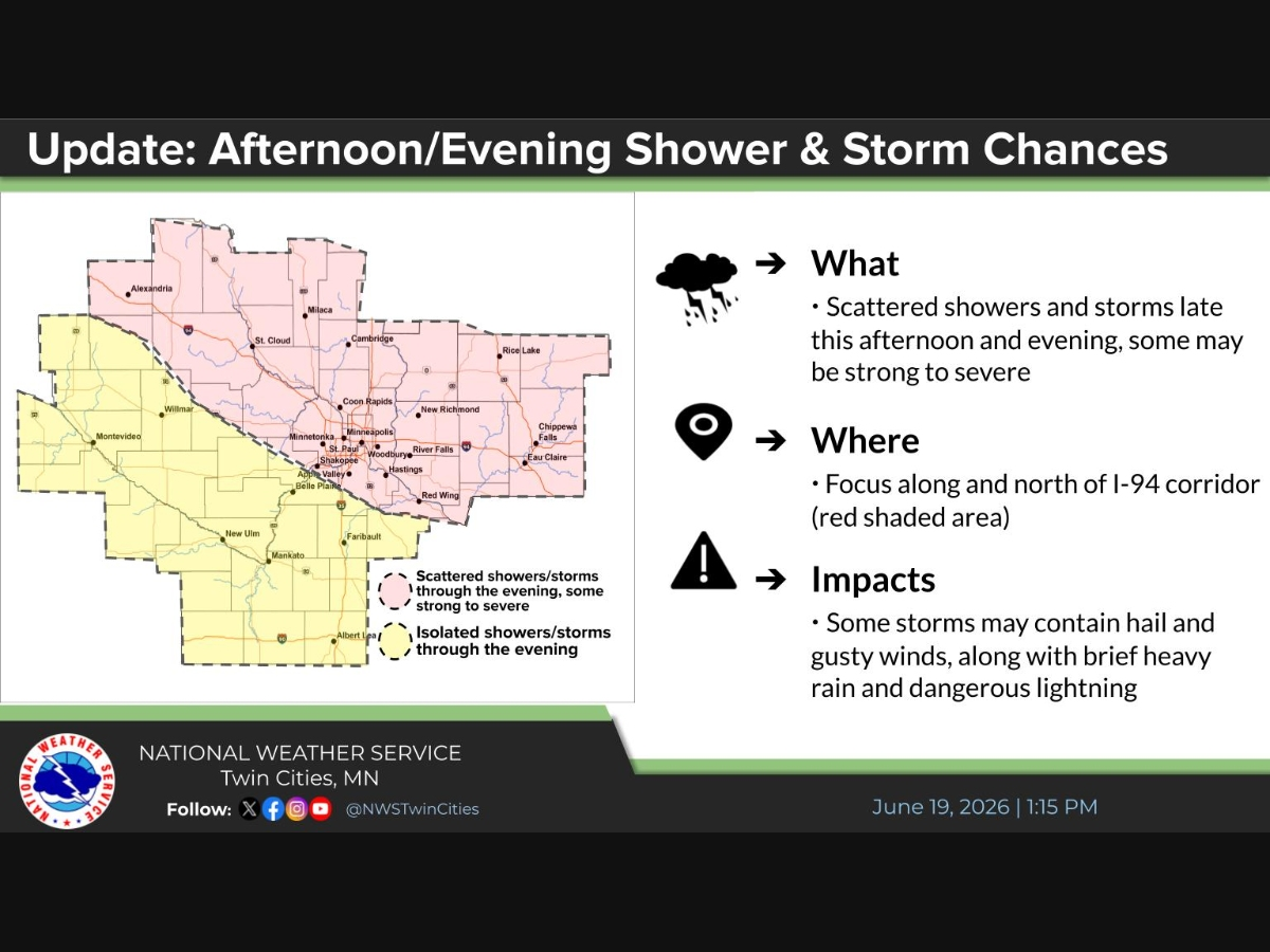
Top image via National Weather Service
Get more local news delivered straight to your inbox. Sign up for free Patch newsletters and alerts.