Politics & Government
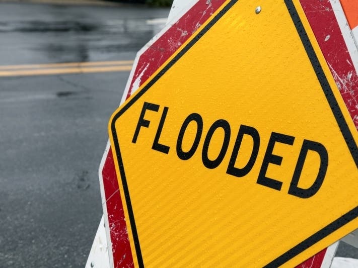
Here Are The NJ Cities With The Greatest Risk Of Flooding
The First Street Foundation Flood Model suggests the risk of flooding across the U.S. is "significantly more" than previous estimates.

A new report from the First Street Foundation provides a national analysis of flood risk in states and cities across the United States, including in New Jersey.
The nonprofit, dedicated to the research and development of flood prevention, released a model that allows users to assess flood risk in the past, present and future at the individual property level by location. The risk assessment takes into account sea-level rise, rainfall and flooding along smaller bodies of water.
The new in-depth report estimates that 14.6 million properties across the United States are at substantial risk of flooding, which is a staggering 5.9 million more properties than the Federal Emergency Management Agency (FEMA) shows on federal government flood maps.
Find out what's happening in Brickfor free with the latest updates from Patch.
First Street uses three risk description levels to classify the chances of flooding in an area:
- Almost certain risk: 20 percent annual probability
- Substantial risk: 1 percent annual probability
- Any risk: 0.2 percent annual probability
Here’s the risk of flooding in New Jersey, according to the First Street Foundation.
Find out what's happening in Brickfor free with the latest updates from Patch.
- Total properties at substantial risk in 2020: 385,400
- Total properties at substantial risk in 2050: 459,000
- Difference in the number of properties currently at substantial risk compared to FEMA maps: -8,100
When looking at all levels of flooding risk in our state, the data shows 617,300 properties at any type of risk over the next 30 years. Of these, 150,700 are categorized as facing almost certain risk.
Here are the cities and towns in New Jersey that have the highest number of properties at risk of flooding.
- Ocean City 17,255 (2020); 19,876 (estimated 2050)
- Toms River 11,675 (2020); 14,764 (estimated 2050)
- Sea Isle City 11,495 (2020); 12,427 (estimated 2050)
- Avalon 10,055 (2020); 11,880 (estimated 2050)
- Atlantic City 9,726 (2020); 11,234 (estimated 2050)
- Brick Township 9,041 (2020); 14,350 (estimated 2050)
- Browns Mills 7,195 (2020); 7,338 (estimated 2050)
- Camden 7,000 (2020); 8,005 (estimated 2050)
- Newark 6,790 (2020); 7,818 (estimated 2050)
- Trenton 6,405 (2020); 6,725 (estimated 2050)
Ocean City will see the most significant increase in flood risk over the next 30 years, according to the data.
You can use the nonprofit’s new Flood Factor tool to check the flood risk of your exact address. You also can search by zip code to see how your town is affected.
FEMA welcomes the new data from First Street even though it shows flood risk in the nation is much higher than FEMA’s estimates for many states. The First Street estimates for New Jersey are lower than the FEMA estimates, which the nonprofit says is due to differences in the methods used to estimate risk.
FEMA maps identify 393,600 properties as having substantial risk in the state of New Jersey. When adjusting for future environmental changes, the FEMA gap reverses, with the Foundation model identifying 65,500 more properties at risk by the year 2050.
"We know there is no perfect science to predict flooding," a FEMA spokesperson told the New York Times. "The Flood Factor product may help property owners with the critical decisions they must make and purchase necessary insurance."
Additionally, FEMA's maps don't take into consideration flooding caused by intense rainfall, which First Street's model does.
The First Street Foundation’s new report was made in collaboration with more than 80 scientists, technologists and experts, as well as in partnership with researchers from Columbia University, George Mason University, Massachusetts Institute of Technology and others.
You can read more about the methodology of the nonprofit’s report on its website.
In 2020, Cape Coral, Florida, has the greatest number of properties at substantial risk of any city in the United States. The rest of the top five is rounded out by Los Angeles, California, Chicago, Illinois, Houston, Texas, and New York, New York.
The full First National Flood Risk Assessment report is available on First Street’s website.
Get more local news delivered straight to your inbox. Sign up for free Patch newsletters and alerts.