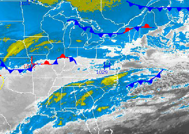

Tranquil and cold conditions will be in place for today but a storm is brewing for tomorrow evening into Friday morning that has the potential to produce significant snowfall totals.
Today through tomorrow morning, high pressure will shift towards Quebec with increasing clouds throughout the region expected. Winds will back to the northeast at 5 to 15 mph. Temperatures will rise into the upper 20's to lower 30's for highs this afternoon. Tomorrow morning, low temperatures will range from the mid to upper 10's over the interior, lower to mid 20's over the New York City metropolitan area, and mid to upper 20's over the Philadelphia metropolitan area. High temperatures tomorrow will range from the upper 20's to mid 30's over the interior and New York City metropolitan areas and mid to upper 30's over the Philadelphia metropolitan areas.
Tomorrow night through Friday, an area of low pressure will produce periods of snow, heavy at times. The heaviest snow is expected over the New York City metropolitan areas and interior locations with over 6 inches of snow expected. Winds will back to the northwest at 15 to 30 mph with gusts over 40 mph. Temperatures will hold in the lower to mid 10's through Friday.
Find out what's happening in Freeholdfor free with the latest updates from Patch.
High pressure will be in control Friday night on through Saturday with scattered clouds, a few flurries, and brutally cold conditions. Temperatures will range from the single digits below zero to single digits for lows and mid to upper 20's for highs.
Find out what's happening in Freeholdfor free with the latest updates from Patch.
Sunday through Monday, an area of low pressure with a strong Arctic cold front will move through the region with periods of rain and snow expected. No significant snowfall accumulation is expected. Temperatures on Sunday will range from the mid to upper 20's for lows and mid 30's to lower 40's for highs. On Monday, temperatures will range from the lower to mid 30's for lows and mid to upper 30's for highs.
Arctic high pressure will be in control on Tuesday with scattered cloud cover and more brutally cold air. Temperatures will range from the lower to mid 10's for lows and mid to upper 10's for highs.


