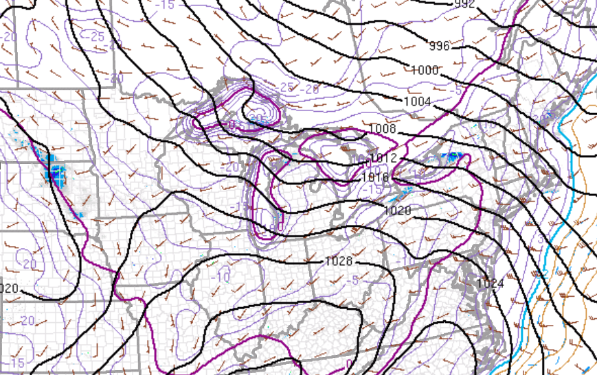
Brutally cold air is in place throughout the Philadelphia and New York City metropolitan areas with temperatures in the single digits below zero to single digits above zero this morning along with a strong westerly winds at 10 to 20 mph, gusting over 30 mph at times. The combination of these cold temperatures with the winds are producing wind chills in the teens below zero to as low as thirty below zero in some locations. Obviously conditions are not safe to be outdoors for too long as frost bite and hypothermia are serious concerns.
High pressure will be in control today through tomorrow with scattered cloud cover expected. A few flurries will be a threat through the period, primarily over the interior where some lake effect snow showers may invade. Accumulation from these snow showers will be a dusting to at most two inches. Otherwise, the obvious main weather impact will be the temperatures. Winds will be from the west at 15 to 30 mph through this evening, decreasing to 5 to 15 mph by tomorrow. Temperatures today will range from the single digits and lower 10's for highs today with wind chills in the teens below zero and thirty degrees below zero. Tomorrow, temperatures will range from the single digits below zero to single digits above zero for lows and upper 10's to lower 20's for highs.
On Thursday, clouds will increase towards evening with an area of low pressure approaching from the Tennessee River Valley. The low pressure system will pass to the south on Thursday night into Friday with a few scattered snow showers expected. The snow showers will be capable of producing snow accumulations of a dusting to 2 inches in some locations, especially over southern New Jersey. Temperatures will moderate nicely as the Arctic air slowly exits. Temperatures on Thursday will range from the upper 10's to lower 20's for lows and lower to mid 30's for highs. Temperatures on Friday will range from the mid to upper 20's for lows and upper 30's to lower 40's for highs.
Find out what's happening in Freeholdfor free with the latest updates from Patch.
A series of disturbances will move through the Philadelphia and New York City metropolitan areas Saturday and Sunday with overcast skies and periods of showers. A more organized area of low pressure can be expected on Monday with period of heavy rainfall. Temperatures will actually rebound to above normal levels through this weekend as the January thaw takes hold! Temperatures will range from the upper 30's to mid 40's for lows and upper 40's to mid 50's for highs.


