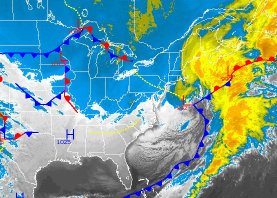
As the major winter storm from last night pulls away into the northwestern Atlantic, a brutally cold Arctic air mass will take hold for several days followed by another threat for significant snowfall to start next week.
Arctic high pressure will be in control through Friday producing clear skies to scattered cloud cover. Winds will remain strong from the northwest at 10 to 20 mph with gusts over 30 mph at times. Temperatures will struggle today in the mid to upper 10's for highs with wind chills in the single digits. On Thursday and Friday, temperatures will range from the single digits to lower 10's for lows and upper 10's to lower 20's for highs. Wind chill temperatures will be in the single digits below zero to single digits above through the period.
A weak Alberta Clipper will move through on Saturday with scattered snow showers lingering into Sunday. Snowfall amounts will be light with only a few snow showers a threat through the period. Temperatures will warm up on Saturday but still below normal with lows in the lower to mid 10's and highs in the lower to mid 30's. On Sunday, temperatures will range from the mid to upper 10's for lows and lower to mid 20's for highs.
Find out what's happening in Freeholdfor free with the latest updates from Patch.
A stronger low pressure system will move through the region on Monday with the potential for significant snowfall over the region. The track and intensity of this low pressure system remains uncertain however if the low pressure system slows down enough, snowfall amounts over 6" would be possible. Temperatures on Monday will range from the lower to mid 10's for lows and upper 10's to mid 20's for highs.
High pressure will take hold on Tuesday with scattered clouds. Temperatures will remain brutally cold with lows in the single digits and highs in the mid to upper 10's.


