Unseasonably cold conditions will linger for another day with temperatures averaging over 10 degrees below normal. As high pressure shifts towards the coastal waters by the end of the week, temperatures will moderate to near normal levels and even above normal levels by Monday before another cold front forces another wave of Arctic air into the region.
High pressure will basically be in charge today on through tomorrow with clear skies to scattered clouds. A few weak disturbances dive south from the Great Lakes may produce a brief flurry or rain shower. Most locations will remain dry, however. Winds will back from the north-northwest to the west at 10 to 20 mph, decreasing to 5 to 15 mph by tomorrow. Temperatures today will rise into the upper 30's to lower 40's for afternoon highs. Tomorrow, temperatures will range from the mid to upper 20's for lows and upper 40's to lower 50's for highs.
High pressure will remain in control Friday on through Sunday with scattered cloud cover. High pressure will be off the coast by this point leading to winds backing to the southwest and south at 5 to 15 mph. Temperatures on Friday will range from the lower to mid 30's for lows and lower to mid 50's for highs. Temperatures on Saturday will range from the upper 30's to lower 40's for lows and mid to upper 50's for highs. Temperatures on Sunday will range from the lower to mid 40's for lows and mid to upper 50's for highs.
Find out what's happening in Freeholdfor free with the latest updates from Patch.
A warm front will move through the region on Monday with periods of showers and overcast skies. Temperatures will be well above normal for a short period of time as the warm front drives through the region. Low temperatures will range from the upper 40's to lower 50's throughout the region. High temperatures will range from the lower to mid 60's throughout the region.
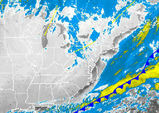
A powerful cold front will follow on Tuesday with rain showers changing over to snow showers. The cold front is currently expected to move through the region in the morning with early morning high temperatures in the lower to mid 50's. Temperatures will then free fall through the day into the 40's and 30's. Windy conditions with wind chills in the 30's can be expected by the afternoon.


