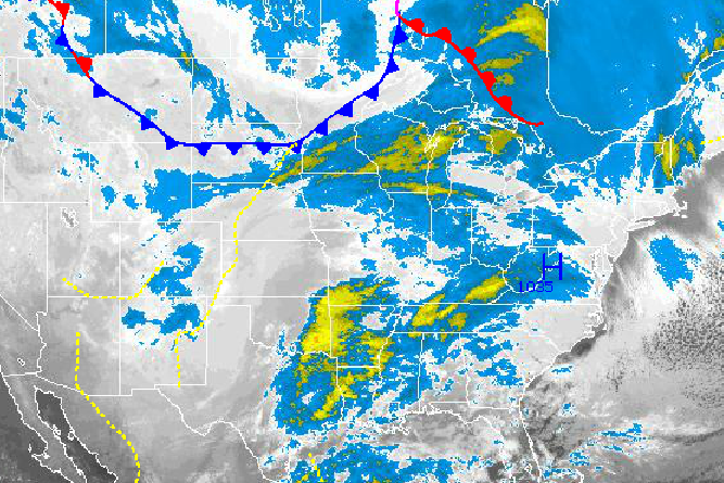
An area of low pressure developing along the Texas Gulf Coast this morning will bring heavy rain to the Philadelphia and New York City metropolitan areas tomorrow evening through Wednesday morning and a wintery mix for the far northern interior. Cold arctic air will follow the storm making for a very chilly Thanksgiving holiday!
Today, high pressure will slide off the Virginia coast with scattered to broken cloud cover and winds backing to the southwest at 10 to 20 mph by this evening. Temperatures will remain well below normal for today with highs only in the lower to mid 30's.
Tonight, the area of low pressure along the Gulf Coast will begin to organize while a cold front over the northern Plains approaches the region with increasing clouds towards morning. A few showers will be a threat tomorrow morning, but will become more widespread by the late afternoon hours. Winds will back to the southeast at 10 to 20 mph. Low temperatures will range from the mid to upper 20's over the interior and upper 20's to lower 30's along the coast. High temperatures will rebound into the upper 30's to lower 40's over the interior and lower to mid 40's along the coast.
Find out what's happening in Freeholdfor free with the latest updates from Patch.
The area of low pressure in the Gulf of Mexico will rapidly race up the coast and over New Jersey by Wednesday morning. Periods of rain can be expected with rainfall amounts of one to three inches with locally higher amounts. Meanwhile, a wintery mix can be expected over parts of the interior leading to a threat of ice and minor snowfall accumulations. Additional details on snow, ice, and rain accumulations can be found here. Winds will back to the northwest at 15 to 30 mph with gusts over 40 mph possible. Temperatures will rise into the lower to mid 40's over eastern Pennsylvania, mid to upper 40's over the Philadelphia and New York City metropolitan areas, and lower to mid 50's over Long Island and Connecticut.
High pressure will take hold by Thanksgiving with clearing skies and a few snow flurries in the morning hours. Winds will be from the northwest at 15 to 30 mph with gusts over 40 mph. Temperatures will fall back to below normal levels with lows in the mid to upper 20's and highs in the mid to upper 30's.
Find out what's happening in Freeholdfor free with the latest updates from Patch.
High pressure will remain in control for Friday and Saturday with scattered cloud cover. A weak disturbance will bring scattered rain and snow showers on Sunday. Temperatures on Friday will range from the upper 10's to mid 20's for lows and mid to upper 30's for highs. Temperatures on Saturday will range from the mid 20's to lower 30's for lows and upper 30's to mid 40's for highs. Temperatures on Sunday will range from the lower to mid 30's for lows and mid to upper 40's for highs.


