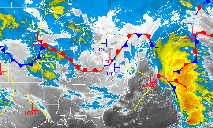
Mild air will continue to invade the Philadelphia and New York City metropolitan areas over the next three days leading to variable clouds, isolated showers, and temperatures rebounding to above normal levels. However, an arctic cold front is on the way for Friday night followed by a wintery mix by Monday morning.
Today through Thursday, scattered to overcast cloud cover can be expected with isolated showers and areas of fog in the morning. The fog will lead to visibility falling below 3 miles at times. Winds will back from the northwest to the southeast at 5 to 15 mph. Temperatures this afternoon will rise into the upper 40's to lower 50's for highs. Low temperatures tomorrow will range from the upper 20's to lower 30's over the interior and mid to upper 30's along the coast. High temperatures will rebound into the upper 40's to lower 50's over the interior and lower to mid 50's along the coast. On Thursday, temperatures will range from the lower to mid 40's for lows and mid to upper 50's for highs.
A powerful Arctic cold front will move through the Philadelphia and New York City metropolitan areas with periods of rain expected. Temperatures will fall through the day with high temperatures in the mid to upper 50's in the morning.
Find out what's happening in Freeholdfor free with the latest updates from Patch.
On Saturday, rain showers will transition to snow showers in the morning. High temperatures will be in the early morning hours with temperatures in the mid to upper 40's and then falling into the 30's.
Arctic high pressure will take hold Saturday night into Sunday afternoon with scattered cloud cover. Temperatures will range from the mid to upper 20's for lows and mid 30's for highs.
Find out what's happening in Freeholdfor free with the latest updates from Patch.
An advancing warm front will produce periods of snow on Sunday night changing over to sleet and freezing rain by Monday morning and finally rain by Monday afternoon. Snow and ice accumulations are expected before a change over to rain. Temperatures will range from the mid to upper 20's for lows and the upper 30's to mid 40's for highs.


