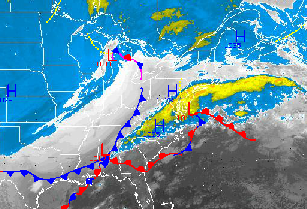

The low pressure system that has produced periods of heavy snow, sleet, freezing rain, and now rain is about to exit the Philadelphia and New York City metropolitan area this morning. However, another round of snowfall is on the way for the region with snowfall amounts potentially exceeding six inches in some isolated locations.
For today, the rain and freezing rain will exit by this morning with temperatures slowly rising above freezing for the entire northern Mid Atlantic by 11 AM this morning. A cold front will follow by this evening with a few isolated rain and snow showers. Winds will back from the east to the west at 5 to 15 mph. Temperatures will rise into the lower 40's throughout the entire Philadelphia and New York City metropolitan areas including the interior.
Scattered cloud cover can be expected tonight as Arctic high pressure builds into the region. Winds will be from the northwest at 5 to 15 mph, increasing to 10 to 20 mph by morning. Temperatures will fall into the mid to upper 20's over the interior and upper 20's to lower 30's along the coast.
Find out what's happening in Freeholdfor free with the latest updates from Patch.
Tomorrow afternoon, a wave of low pressure will approach the New Jersey coast with periods of light to moderate snowfall expected. Heavy snowfall will be possible from central New Jersey to southeastern Pennsylvania with enhanced snowfall accumulations. More details on snowfall accumulations can be found here, however 1-3" can be expected over the interior and 3"-6" along the coast. Temperatures will hold in the lower to mid 30's for highs in the afternoon.
Arctic high pressure will be in control tomorrow night on through Friday with clear skies and very cold weather conditions. Winds will be from the northwest and north at 5 to 15 mph. Temperatures will be well below normal through the rest of this week. Low temperatures will range from the lower to mid 10's over the interior and upper 10's to lower 20's along the coast. High temperatures will range from the upper 20's to lower 30's over the interior and lower to mid 30's along the coast.
Find out what's happening in Freeholdfor free with the latest updates from Patch.
An area of low pressure will produce periods of snow, sleet, and rain to the region Saturday afternoon through Sunday. Significant accumulations of snow and ice will be possible. Temperatures will range from the mid to upper 20's for lows and lower to mid 30's for highs.


