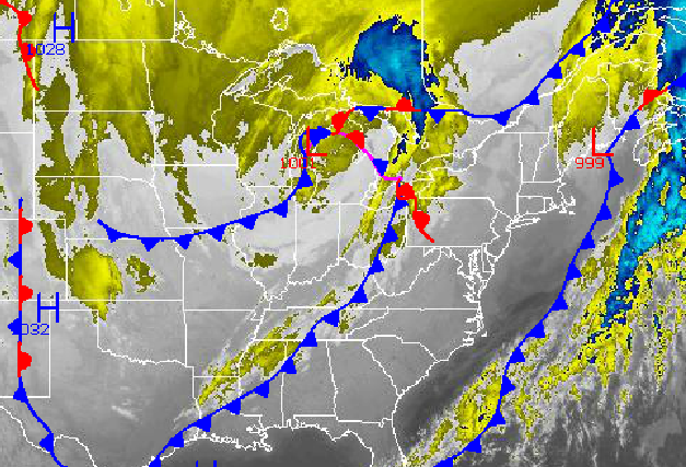
Dense fog will linger through the morning hours until at least 10 AM producing visibilities below 2 miles in many locations. Tranquil conditions will return for this afternoon but a parade of disturbances associated with the Polar jet stream will keep the weather pattern active through this weekend with the threat for snow showers almost every day.
Fog will slowly burn off by 10 AM throughout the Philadelphia and New York City metropolitan areas giving way to scattered cloud cover. Winds will be from the south at 5 to 15 mph. Temperatures will rise into the mid to upper 40's over the interior and upper 40's to lower 50's along the coast for highs this afternoon.
Tonight, an area of low pressure will approach the Delaware coast with increasing clouds and widely scattered snow showers towards morning. Winds will back to the north at 5 to 15 mph. Temperatures will fall into the mid to upper 20's over the interior and upper 20's to lower 30's along the coast for lows.
Find out what's happening in Freeholdfor free with the latest updates from Patch.
The area of low pressure will track to the east-northeast towards the New England coastal waters on Thursday leading to periods of scattered snow showers over the region. Rain may mix in with the snow at times along the coast. Snowfall accumulations will be limited to mostly cold and grassy surfaces with accumulations of a trace to 2 inches possible.
High pressure will be in control Thursday night through Friday with scattered cloud cover expected. Temperatures will be near normal through the period. Low temperatures will range from the mid to upper 20's over the interior and upper 20's along the coast. High temperatures will range from the mid to upper 30's over the interior and lower to mid 40's along the coast.
Find out what's happening in Freeholdfor free with the latest updates from Patch.
Another wave of low pressure is expected on Saturday with periods of snow showers and light snowfall. Snowfall accumulations will remain light in the one to four inch range with most of the accumulation on cold and grassy surfaces. Temperatures will range from the lower to mid 20's for lows and mid to upper 30's for highs.
High pressure will take hold Sunday on through Tuesday with scattered cloud cover expected. An area of low pressure will develop late Tuesday night through Wednesday with periods of light to moderate snowfall expected. Low temperatures will range from the lower to mid 20's. High temperatures will range from the lower to mid 30's.


