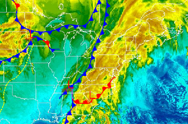
The end of the January thaw is here as an area of low pressure over the Southeast and a cold front over the Great Lakes lifts through the Philadelphia and New York City metropolitan areas with periods of rain. Then the pattern turns colder and with an increasing threat for snow.
Periods of rain can be expected today, heavy at times. Most locations can expect light to moderate rainfall however some localized flooding of urban locations due to poor drainage is possible. Winds will veer to the northwest at 5 to 15 mph. Temperatures will rise into the mid to upper 40's over the interior and upper 40's to lower 50's along the coast.
Tonight, the rain will exit from west to east with some snow mixing in at the end. No accumulation is expected from this snowfall aside from a dusting on the grass for locations above 1,000 feet. Winds will be from the northwest at 5 to 15 mph. Low temperatures will range from the upper 20's over the interior and lower to mid 30's along the coast.
Find out what's happening in Freeholdfor free with the latest updates from Patch.
High pressure will be in control through Thursday morning with scattered clouds and more seasonable temperatures. Winds will be from the north and northwest at 5 to 15 mph. Temperatures will range from the mid to upper 40's for highs and mid to upper 20's for lows by Thursday morning.
An area of low pressure will east of New Jersey will produce periods of light snow on Thursday evening. Snowfall accumulations will be light with a trace to two inches along the immediate coast and one to three inches of snow throughout the rest of the region. Temperatures will rise into the mid to upper 30's for highs.
Find out what's happening in Freeholdfor free with the latest updates from Patch.
High pressure will be in control on Friday with scattered cloud cover expected. Temperatures will remain near normal. Low temperatures will range from the upper 10's to lower 20's over the interior and mid 20's along the coast. High temperatures will range from the mid to upper 30's over the interior and upper 30's to lower 40's along the coast.
An area of low pressure will bring snow to the region on Saturday. Moderate snowfall accumulations are possible with this low pressure system. However, the exact track and intensity of this low pressure system is still very much uncertain. Temperatures will range from the lower to mid 20's for lows and lower to mid 30's for highs.
High pressure will be in control for Sunday and Monday with scattered cloud cover expected. Temperatures will be below normal for the period. Low temperatures will range from the mid to upper 10's over the interior and upper 10's to lower 20's along the coast. High temperatures will range from the upper 20's to lower 30's over the interior and lower to mid 30's along the coast.


