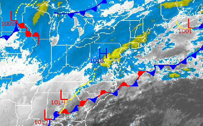

A powerful winter storm is on the way for today that will bring a quick blanket of 3 to 6 inches of snow throughout the region with locally higher amounts. Brutally cold conditions will follow the rest of this week with another coastal storm expected by this weekend.
Today, waves of moderate to heavy snow can be expected from mid morning on through this afternoon followed by clearing from west to east this evening. Winds will veer to the northwest at 10 to 20 mph with gusts over 30 mph at times. Visibility will fall below a mile in some locations. Temperatures will hold in the lower to mid 30's for highs today. Details on snowfall accumulations can be found below.
Find out what's happening in Freeholdfor free with the latest updates from Patch.
Arctic high pressure will take hold tonight and will remain in control through Friday with well below normal temperatures expected. Clear skies can be expected through the forecast period, although a few flurries or snow showers will be a threat at times. Winds will be from the northwest at 5 to 15 mph. Low temperatures will range from the lower to mid 10's over the interior and upper 10's to lower 20's along the coast. High temperatures will range from mid to upper 20's over the interior and lower to mid 30's along the coast.
An area of low pressure will produce of snow, sleet, and rain for Saturday afternoon through Sunday morning. Accumulating snowfall appears to be likely more for the interior however the forecast is still rather uncertain. Temperatures will range from the upper 20's to mid 30's for lows and mid 30's to lower 40's for highs.
Find out what's happening in Freeholdfor free with the latest updates from Patch.
Arctic high pressure will produce scattered cloud cover and cold temperatures. Temperatures will range from the upper 10's to lower 20's for lows and upper 20's to lower 30's for highs.


