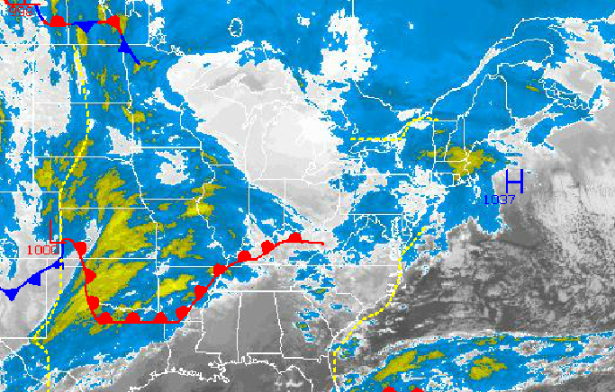
Warm air is finally taking hold this morning as snow showers slowly give way to rain showers this morning. Temperatures will steadily rise above freezing today and will be well above normal by tomorrow afternoon. An advancing cold front will march east tomorrow evening bringing very heavy rainfall and the threat for flash flooding.
Today through tomorrow morning, periods of rain and snow showers will transition to all rain by this afternoon. Snowfall accumulations will range from a trace to an inch for most locations before changing over to rain. Winds will be from the southwest at 5 to 15 mph. Temperatures will steadily rise into the upper 30's over the interior and lower 40's along the coast. Temperatures will hold in the upper 30's to lower 40's through tomorrow morning with additional scattered showers.
Tomorrow afternoon, a strong cold front will slowly move through the Philadelphia and New York City metropolitan areas with periods of moderate to heavy rainfall. The heavy rainfall will produce rainfall amounts of one to two inches with isolated amounts up to three inches. Localized flash flooding will be a significant threat through Sunday morning. Temperatures will skyrocket ahead of the cold front into the mid to upper 50's over the interior and upper 50's to lower 60's along the coast.
Find out what's happening in Freeholdfor free with the latest updates from Patch.
The cold front will clear the coast on Sunday morning with lingering showers. Skies will clear by the afternoon as high pressure takes hold. Winds will veer to the northwest at 5 to 15 mph. Temperatures will hold in the mid to upper 40's throughout the region.
High pressure will be in control on Monday with scattered cloud cover. A strong low pressure system will lift north through the Philadelphia and New York City metropolitan areas on Tuesday with periods of rain expected. Temperatures on Monday will range from the upper 20's to lower 30's for lows and upper 40's to lower 50's for highs. Temperatures on Tuesday will range from the upper 30's to lower 40's for lows and upper 40's to lower 50's for highs.
Find out what's happening in Freeholdfor free with the latest updates from Patch.
High pressure will be in control Wednesday and Thursday with scattered cloud cover. Temperatures will range from the mid 20's to lower 30's for lows and upper 30's to lower 40's for highs.


