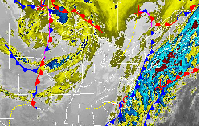
Areas of fog and scattered rain and snow showers marks the start of a pattern change that will step the Philadelphia and New York City metropolitan areas back down into winter.
Locally dense fog this morning will gradually give way by 10 AM with visibilities rising from around a mile to over 6 miles by noon. Meanwhile, a disturbance developing over the New Jersey coastal waters will produce periods of rain and snow showers. The snow showers will produce minor accumulations of a trace to up to an isolated two inches of snow. Roads will be slick this morning as a result. The rest of the Philadelphia and New York City metropolitan areas can expect a mix of rain and snow changing over to rain. Winds will back to the west at 5 to 15 mph. Temperatures will rise into the upper 30's to lower 40's over the interior and lower to mid 40's along the coast.
Tonight through tomorrow, a series of disturbances will produce scattered rain and snow showers over the region. Winds will veer to the north at 5 to 15 mph. Temperatures will range from the upper 20's to lower 30's for lows and lower to mid 40's for highs.
Find out what's happening in Freeholdfor free with the latest updates from Patch.
A stronger cold front with area of low pressure will move through the Philadelphia and New York City metropolitan areas on Saturday afternoon into Sunday morning with scattered rain and snow showers. Temperatures will fall back to near normal levels for this weekend. On Saturday temperatures will range from the upper 20's to lower 30's for lows and mid to upper 30's for highs. On Sunday, temperatures will range from the lower to mid 20's for lows and mid to upper 30's for highs.
High pressure will be in control on Monday with scattered cloud cover expected. A cold front will move through the region on Monday night with developing snow showers towards Tuesday morning. Temperatures on Monday will range from the mid to upper 20's for lows and lower to mid 40's for highs.
Find out what's happening in Freeholdfor free with the latest updates from Patch.
A strengthening area of low pressure will produce periods of snow, heavy at times, on Tuesday into Wednesday morning. Significant snowfall accumulations are possible with this winter storm. Temperatures on Tuesday will range from the lower to mid 20's for lows and upper 20's to lower 30's for highs. Temperatures on Wednesday will range from the lower to mid 10's for lows and lower to mid 20's for highs.


