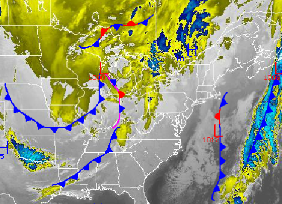
Tranquil conditions can be expected through this afternoon as weak high pressure will be in control over the Philadelphia and New York City metropolitan area. However, another disturbance is on the way that will produce the threat for snow showers tomorrow evening. Meanwhile, a more significant winter storm is possible for the middle of next week.
High pressure will produce scattered cloud cover through this afternoon and into the evening hours. Winds will be from the south and southwest at 5 to 15 mph. Temperatures will rise into the upper 30's to lower 40's over the interior and lower to mid 40's along the coast.
Tonight, clouds will increase as the disturbance over the Mississippi River Valley drives towards the Mid Atlantic coast. Snow showers will develop and become widespread by tomorrow afternoon and linger on into Sunday morning. Skies will clear on Sunday as high pressure takes hold and remain in place through Monday. Temperatures tomorrow will range from the lower to mid 30's for lows and upper 30's to lower 40's for highs. Temperatures on Sunday and Monday will range from the lower to mid 20's for lows and mid to upper 30's for highs.
Find out what's happening in Freeholdfor free with the latest updates from Patch.
A strong arctic cold front followed by a wave of low pressure will move through the Philadelphia and New York City metropolitan areas with periods of snowfall. The exact track and intensity of the low pressure system is still very much uncertain, however the potential for a moderate to significant snowfall is possible. Conversely, if the low pressure system takes too long to develop, the snow will be significantly less. High pressure will be in control Wednesday night into Thursday with scattered cloud cover. Temperatures on Tuesday will range from the upper 10's to lower 20's for lows and mid 20's for highs. Temperatures on Wednesday and Thursday will range from the single digits to lower 10's for lows and upper 10's to lower 20's for highs.


