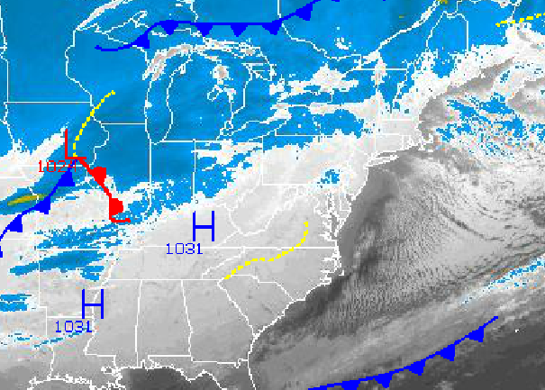
Arctic high pressure will be in complete conditions through Friday with cold and dry conditions for most of the period. A few flurries will be possible, but that's about it. A major storm will target the Philadelphia and New York City metropolitan areas by Saturday afternoon with a variety of winter weather impacts including snow, sleet, freezing rain, and finally rain. More cold air will follow for next week.
Arctic high pressure will be in control today through Friday with tranquil weather conditions in place. Scattered clouds can be expected with a few isolated snow showers possible as a few disturbances move through the region. Winds will be from the west and northwest at 5 to 15 mph, gusting to 25 mph at times. Temperatures will be well below normal through the period. Temperatures will range from the mid 10's to lower 20's for lows and upper 20's to mid 30's for highs. Wind chill temperatures will range from the single digits to teens through the period.
An area of low pressure will track northward from the Gulf of Mexico on Saturday and redevelop along the New Jersey coast by Sunday morning. This low pressure system will produce periods of snow changing over to sleet and rain along the immediate coast and snow to sleet and freezing rain over the interior. Significant snow accumulation is likely over the interior while light to moderate snow accumulation can be expected along the coast. Temperatures will range from the mid to upper 20's for lows on Saturday. Temperatures will rise into the lower 30's over the interior and mid to upper 30's along the coast for highs on Saturday night and Sunday morning. Temperatures will crash through the 20's on Sunday night.
Find out what's happening in Freeholdfor free with the latest updates from Patch.
High pressure will be in place for Monday and Tuesday with scattered clouds and dry conditions. Temperatures will remain below normal with lows in the lower to mid 20's and highs in the mid to upper 30's.


