Weather
Hoboken In Snow: See 5 Photos And Updated Snowfall Map
See photos of Hoboken's main street in the snow on Sunday morning and get the updated forecast.

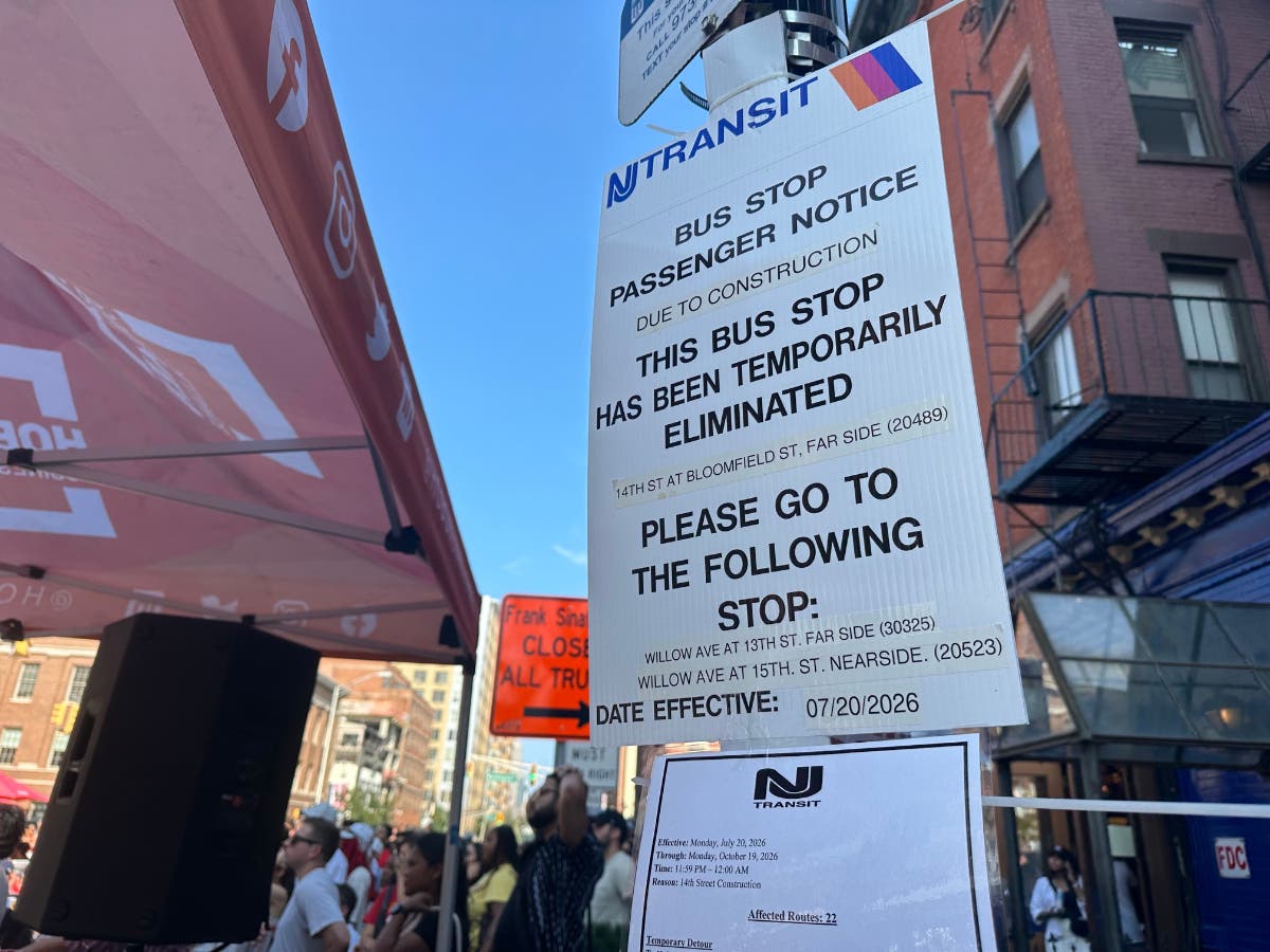
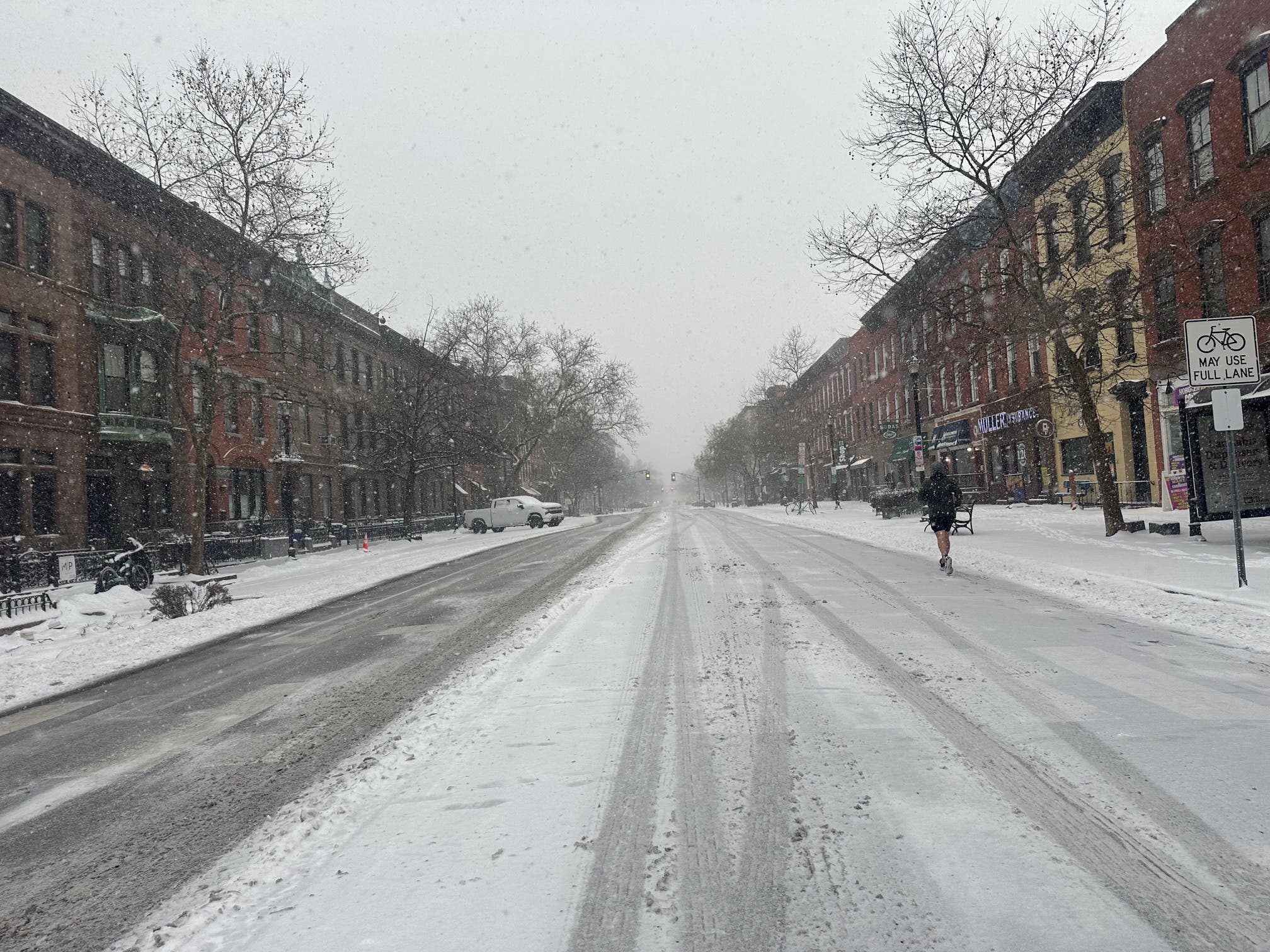
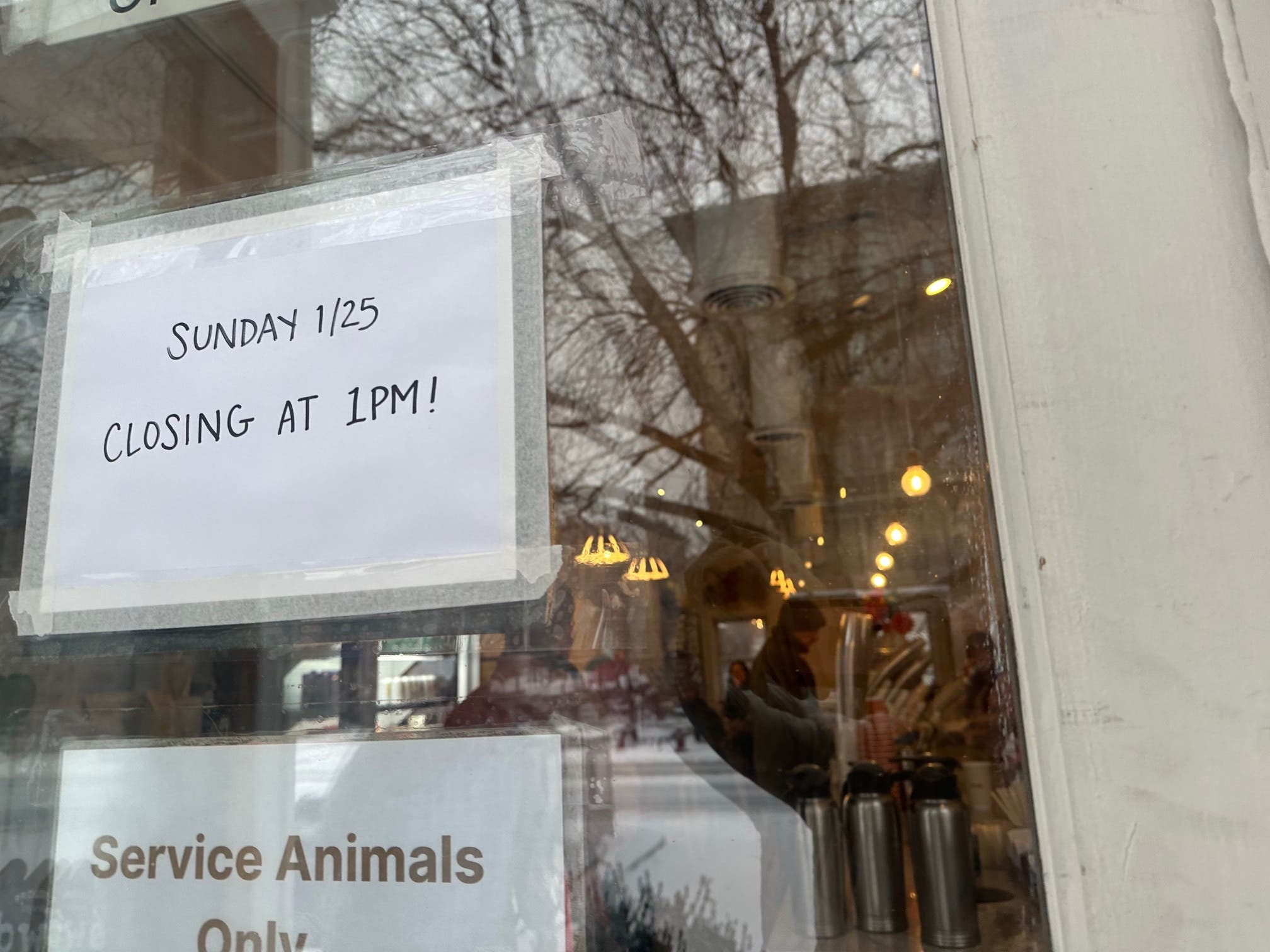
HOBOKEN, NJ — Hoboken remains under a winter storm warning through Monday at 1 p.m. Gov. Mikie Sherrill said public buses and light rail trains would not run on Sunday, and other NJ Transit trains will stop at 2 p.m. Sunday. Below, see five photos of Hoboken taken around 9 a.m. Sunday morning.
Look here for Hudson County school closing details, including for Hoboken.
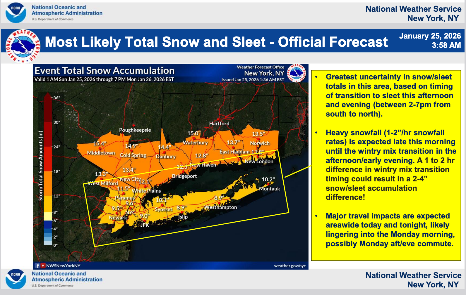
The NWS expects Hudson County to get snow until 4 p.m., then snow and sleet, sometimes heavy. 6-10 inches may accumulate Sunday, with 1-2 inches at night. The predicted accumulation for nighttime was downgraded because more sleet than snow is expected in the evening.
Find out what's happening in Hobokenfor free with the latest updates from Patch.
.jpeg)
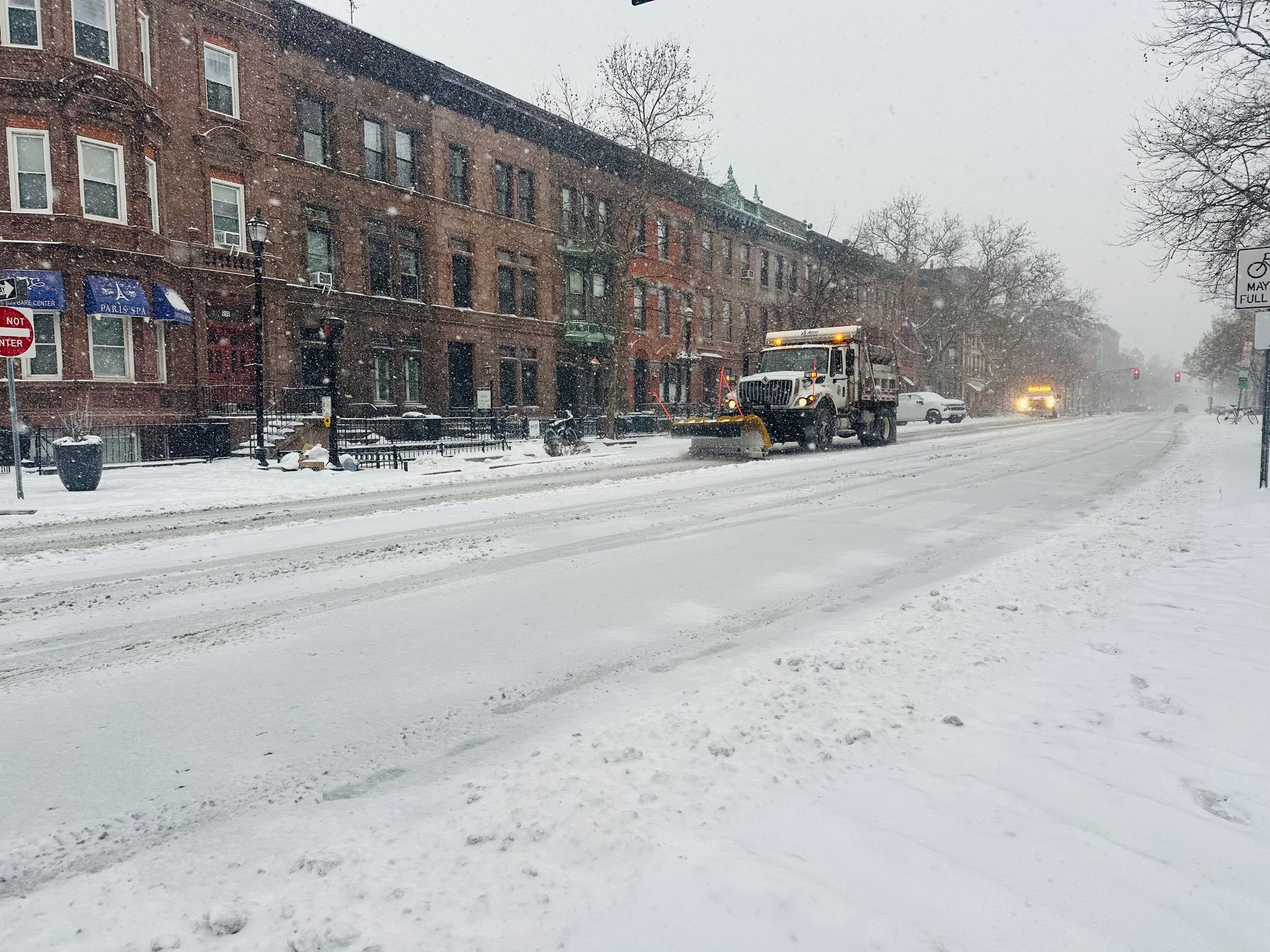
.jpeg)
For Monday, snow will mix with freezing rain after 7 a.m., then gradually end, the NWS says.
Track Storms Here
Find out what's happening in Hobokenfor free with the latest updates from Patch.
- See the latest local NWS forecast and watches here.
- Keep an eye on the local radar here.
- Check out the Accuweather Minutecast here.
- See a current map of all watches and warnings in New Jersey here.
- The NOAA (National Oceanic and Atmospheric Administration) keeps us informed about larger weather events. Follow them here.
Updated NWS forecasts, watches, and warnings in each county:
What about the rivers? This NWS map of the United States will show the potential for river flooding.
Get more local news delivered straight to your inbox. Sign up for free Patch newsletters and alerts.