Home & Garden
Weather Update: Thunderstorms Predicted for Tuesday in Hoboken
See your local hour-by-hour forecast here.


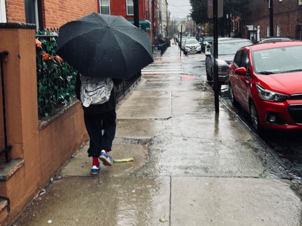
If you’re planning on spending some time outdoors on Tuesday, you might want to make sure to bring an umbrella.
Weather forecasters at the National Weather Service are predicting “showers and isolated thunderstorms” with possible fog for Tuesday, due to a warm front from the north and a cold front approaching from the west.
According to forecasters, the morning hours are the most likely to see rain. Temperatures will remain warm throughout the day, reaching up to the high 70s.
Find out what's happening in Hobokenfor free with the latest updates from Patch.
NWS forecasters are calling for a return to sunny skies on Wednesday.
LOCAL FORECAST
Find out what's happening in Hobokenfor free with the latest updates from Patch.
Tuesday: A chance of showers, then showers likely and possibly a thunderstorm after 9am. Areas of fog before 9am. Otherwise, cloudy, with a high near 78. Southwest wind 5 to 10 mph. Chance of precipitation is 60%. New rainfall amounts between a tenth and quarter of an inch, except higher amounts possible in thunderstorms.
Tuesday Night: A chance of showers and thunderstorms before midnight. Partly cloudy, with a low around 58. Southwest wind around 9 mph becoming northwest after midnight. Chance of precipitation is 30%.
Wednesday: Sunny, with a high near 69. Northwest wind 13 to 15 mph.
Wednesday Night: Partly cloudy, with a low around 51. Northwest wind 7 to 11 mph.
Get more local news delivered straight to your inbox. Sign up for free Patch newsletters and alerts.